





The Complete Guide to Ishigaki Island’s “Buzama-dake” | How to Get to the Kabira Bay Scenic Terrace and Things to Keep in Mind
The Complete Guide to Mount Buzama on Ishigaki Island
"Mount Buzama," which towers over the Kabira area of Ishigaki Island, has an elevation of322 mAlthough it is a mountain, the view from the Kabira Bay Scenic Terrace halfway up the slope has been attracting attention for its breathtaking scenery.
In this column, we’ll provide a comprehensive overview of everything from the origin of the name to hiking routes and safety precautions. If you’re interested, be sure to read all the way to the end.
◆For those looking for scenic spots perfect for social media
◆For those who want to enjoy hiking while sightseeing on Ishigaki Island
◆For those who want to know how to get to the Kabira Bay Scenic Terrace
Click here to see the ranking of popular tours in Ishigaki Island.
What kind of mountain is Mt. Buzama?

"Mount Buzama," located inland in the Kabira district in the northwestern part of Ishigaki Island.
At 322 meters, it isn't particularly high, but its unique name andSpectacular view pointIt's a mountain that's been attracting a lot of attention from hikers.
Access: 30 minutes by car from Ishigaki Airport
↓Click here to read the article.
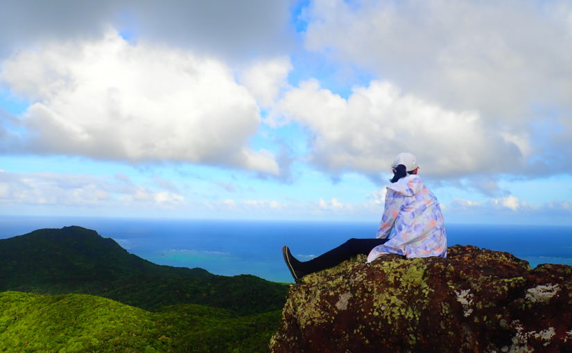
A mountain towering over the Kabira area of Ishigaki Island
Mount Buzama is,Omodake Mountain RangeIt is a mountain located at the western end of [...].
The area is characterized by geology consisting of granite and weathered soil, and it is also the source of the Shirakami River, which flows to the southeast.
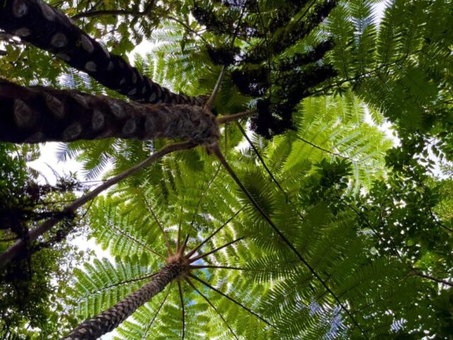
The Shirakami River basin is home to plant communities such as long-stalked Japanese aralia and Japanese camphor oak.
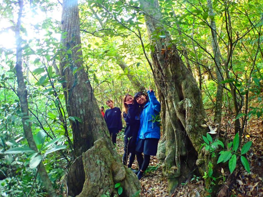
The area around the trailhead is surrounded by virgin forest, offering a chance to experience the lush natural beauty that is characteristic of Ishigaki Island.
"Buzama" doesn't mean "shameful"
When people hear the name “Mount Buzama,” many are probably surprised by how unusual it sounds.
Actually, this name comes from the local dialect."Buzama"It comes from [...], and it means “tail.”
It’s said that the mountain got its name because it’s located at the western end—or “tail”—of the Omoto Mountain Range.
Please rest assured—this definitely doesn't mean "embarrassing."
The Much-Talked-About “Kawahira Bay Scenic Terrace”
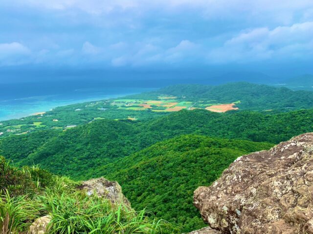
Midway up Mt. Buzama, at an elevation of249 mNearby is the "Kabira Bay Scenic Terrace."
It’s a viewing spot that’s all the rage right now—it was selected as a new must-see attraction through Ishigaki City’s “Islanders’ Treasure Hunt Project.”
The View from the Terrace
The Kabira Bay Scenic Terrace is a spot known for its massive, terraced rocks.
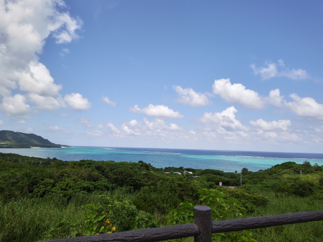
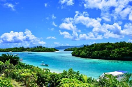
The view of Kabira Bay from here is,emerald greenIt's a breathtaking view created by the sea and the lush green mountains.
Among the many scenic viewpoints on Ishigaki Island, this one is renowned as one of the most beautiful.
On sunny days, the sense of openness that allows you to see far into the distance is one of its charms.
Why It's Popular on Social Media
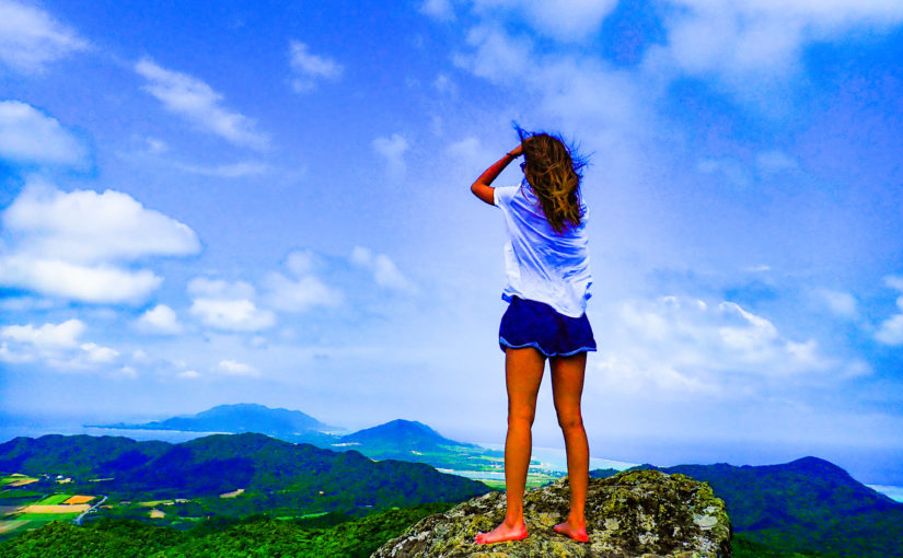
The Kabira Bay Scenic Terrace is increasingly being featured on social media as a photo-worthy spot.
The view of Kabira Bay from atop the giant rock offers a unique perspective that you won't find just anywhere.
However, since the terrain is rocky,Falls and SlipsPlease be very careful about this.
Hiking Routes and Estimated Travel Times
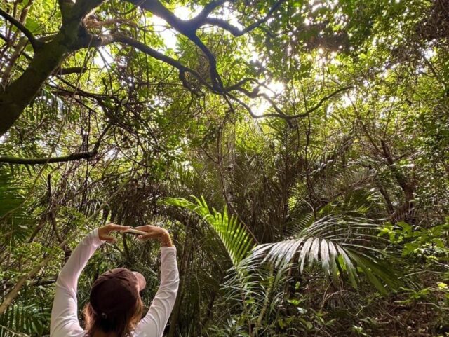
The trail to Mt. Buzama is not officially maintained, so it is common to approach it via the former Omoto Forest Road.
Approximately for a round trip2 hours and 40 minutesIt's a good idea to plan for that possibility.
Click here for recommended plans ↓↓.
Starting Point
The starting point for the hike is the entrance to the forest road that continues from Cape Sakieda.
The usual route is to hike up the relatively gentle forest trail for about 45 minutes.
Since there are few landmarks near the entrance, you shouldMap AppIt's a good idea to check the location in advance, for example, by...
Route Features
The first half of the route consists mainly of walking along forest trails, which are relatively easy to navigate.
Once the forest road ends, you’ll enter a proper hiking trail, and the path becomes somewhat rough.
There are some spots where you have to push through the underbrush, but,Marking tapeThe signs are clearly posted, so it's hard to get lost.
The turnoff for the Kabira Bay Scenic Terrace is marked by a route that branches off from the forest road partway along it.
The Path to the Summit
From the Kabira Bay Scenic Terrace, you'll need to walk a bit further to reach the summit.
The area around the summit is surrounded by thickets, so unfortunately, the view isn't very open.
Triangulation PointSince it's securely installed, we recommend stopping by to take a commemorative photo after reaching the summit.
If you're short on energy or time, sticking to a round trip to the scenic terrace is also an option.
What You Should Know Before Climbing
important point

While Mount Buzama is gaining popularity for its spectacular views, its trails are unmarked, and there have been reports of accidents involving hikers getting lost.
Before you visit, please review the followingimportant pointLet's make sure to check this thoroughly.
The hiking trail is unmarked
There has never been an official hiking trail on Mt. Buzama.
Therefore,Getting Lost or Slipping and FallingThe risk is higher here than on other mountains.
We recommend using map apps and GPS and hiking in groups rather than alone.
Preventing Mountain Ticks
In the area around Mt. Buzama,Mountain TickDamage has been reported.
Avoid clothing that exposes a lot of skin, and choose long sleeves, long pants, and shoes that cover your ankles.
It's a good idea to bring along some leech-repellent items, such as insect repellent spray and salt, for peace of mind.
Signs to Raise Awareness About Preventing Accidents
As the Kawahira Bay Scenic Terrace gains popularity, the number of hikers is also increasing.
As a result, there has been a spate of accidents, andIn 2021, there were 3 cases involving 4 peopleAn accident occurred.
In September of that year, warning signs were posted at the site.
Please be sure to understand that this is not just a “casual spot with stunning views” before you visit.
Things to Enjoy Together on Ishigaki Island
3 Top Picks
If you're visiting Mt. Buzama, you'll want to stop by these spots on Ishigaki Island as well:Sightseeing SpotsLet's make sure to cover that as well.
Here are three spots, ranging from popular favorites to hidden gems.
Kabira Bay
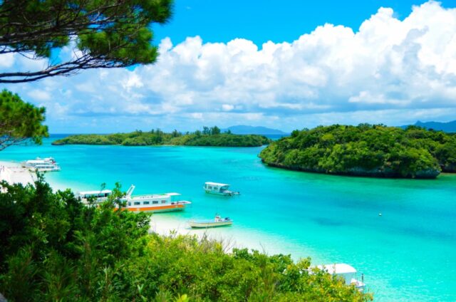
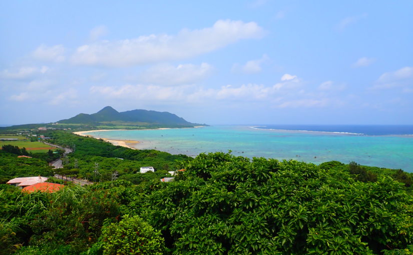
Kabira BayIt is known as one of Ishigaki Island's most scenic spots.
The scenery, featuring crystal-clear emerald-green waters and a tapestry of islands large and small, is a must-see.
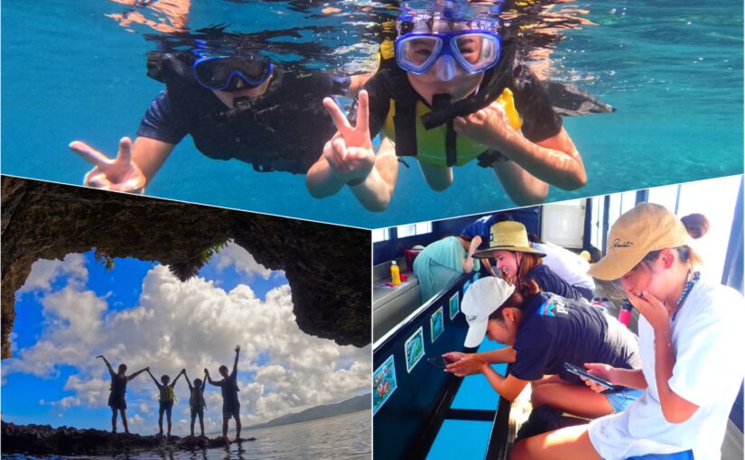
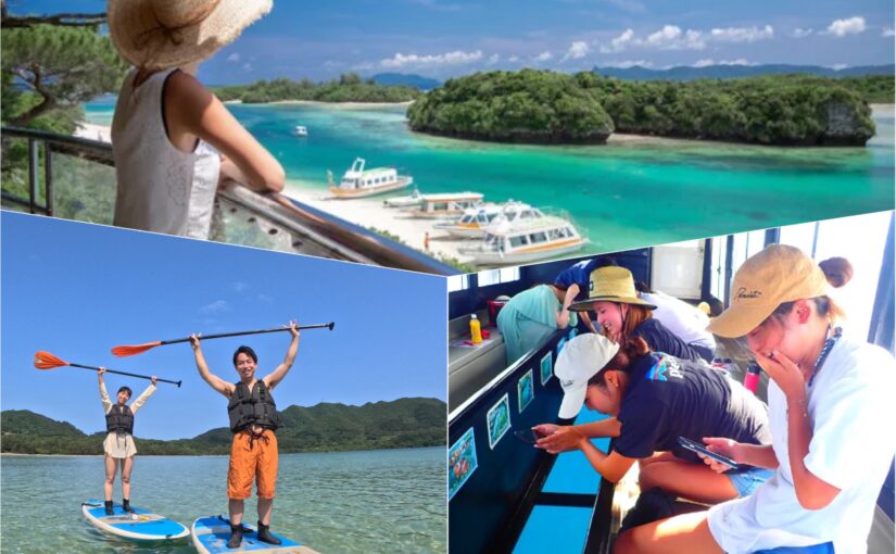
If you take a glass-bottom boat, you can observe coral reefs and tropical fish up close.
Access: 30 minutes by car from Ishigaki Airport
Ishigaki Island Glass-Bottom Boat
Click here to see the ranking of popular tours
↓Glass boat experience is also available!
Click here for recommended set plans
![[Okinawa, Ishigaki Island] Guided Tour of Ishigaki Island’s Scenic Spot, “Kabira Bay”! EV Trike Tour & EV Glass-Bottom Boat Experience (No. 598) – Featured Image](https://ishigaki-tours.com/wp-content/uploads/2019/03/IMG_4533-scaled-e1693029340452-825x510.jpg)
Yonehara Beach
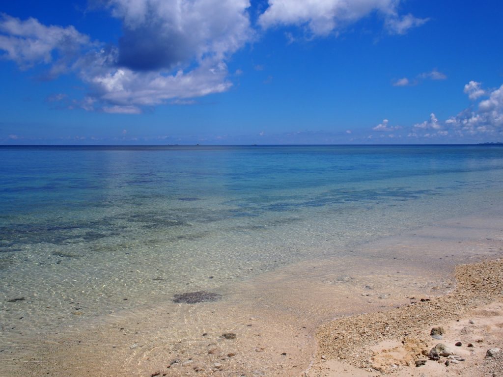
Yonehara Beach is,snorkelingThis is a very popular beach.
One of the attractions is that you can observe colorful tropical fish and coral even in shallow waters.
There's also a campground on the premises, so we recommend spending a relaxing day there.
Access: 20 minutes by car from Ishigaki Airport
Snorkeling Tours in Ishigaki Island
Click here to see the popularity ranking
Click here for recommended plans ↓↓.

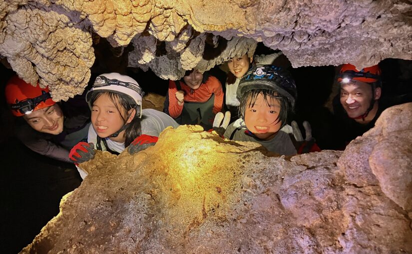
Ishigakijima limestone cave
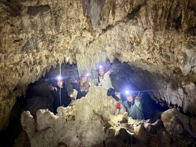
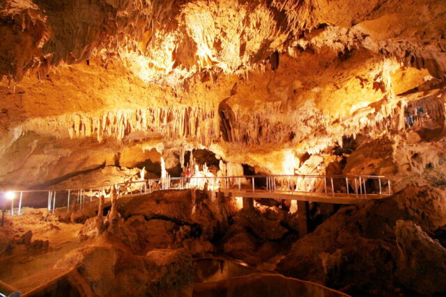
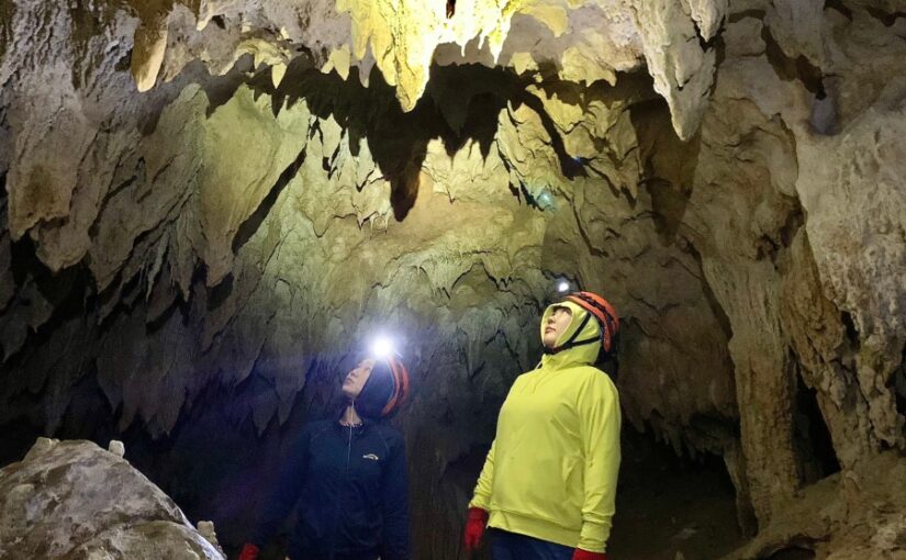
The Ishigaki Island Limestone Caves are,More than 200,000 yearsThis is a spot where you can enjoy the natural beauty shaped over the years.
The illuminated stalactites create a magical atmosphere.
Since you can stay cool even on hot days, it’s the perfect place to take a break between sightseeing stops.
Access: 25 minutes by car from Ishigaki Airport
Click here for recommended plans ↓↓.
About Mt. Buzama
Frequently Asked Questions (FAQ)
summary
Mount Buzama is a mountain known for its spectacular terrace offering a panoramic view of Kabira Bay, but the trail is unpaved, soRisk of Getting LostIt is important to be fully aware of this point as well.
When you visit, make sure to come prepared and gather plenty of information, and please enjoy yourself while putting safety first.
If you also visit nearby spots like Kabira Bay, you'll be able to fully enjoy all that Ishigaki Island has to offer.
↓Click here to read the article.



























































![[Ishigaki Island / Approx. 2.5 hours] Same-day reservations accepted! SUP tour to the mystical “Blue Cave”★ A new experience in crystal-clear waters♪ Free photos](https://ishigaki-tours.com/wp-content/uploads/2017/12/DB89F99F-C338-4E76-BC19-CEC4FDDE95AC-1-825x510.jpeg)