")


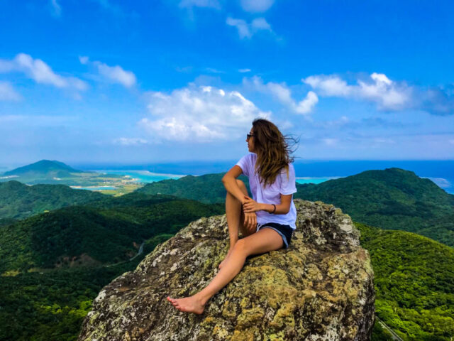
Introducing the mountains of Ishigaki Island! Let's go to the jungle with our recommended trekking courses!
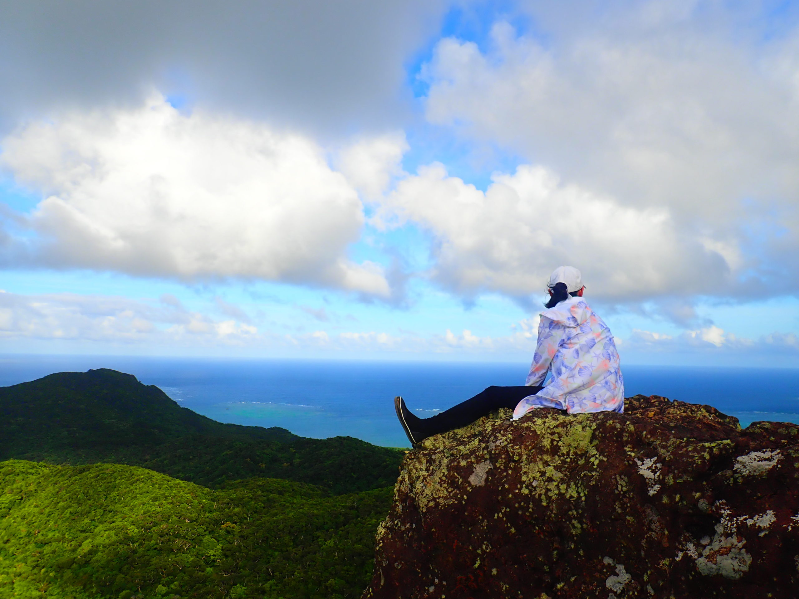
Table of Contents
- 1 The charm of Ishigaki Island is not only the sea! Introducing the history and tours of the mountains on Ishigaki Island
- 2 Characteristics of the Mountains of Ishigaki Island
- 3 5 plants you can see in the mountains of Ishigaki Island
- 3.1 Plants that can be seen in the mountains of Ishigaki Island①. Saxifraga japonica
- 3.2 Plants that can be seen in the mountains of Ishigaki Island (2) Modama
- 3.3 Plants found in the mountains of Ishigaki Island (3) Kwazuiimo (Japanese apricot)
- 3.4 Plants that can be seen in the mountains of Ishigaki Island ④ Inumaki (Sapindus maki)
- 3.5 Plants you can see in the mountains of Ishigaki Island (5) Scarlet Cherry Blossom
- 4 List of Mountains in Ishigaki Island
- 4.1 Mt. Nosoko (Ma Pei)
- 4.2 Omotodake
- 4.3 Yarabudake (Mt. Yarabu)
- 4.4 Mt. Vanna
- 4.5 unpresentable Mt. Basho (in Japanese mythology)
- 4.6 Mt. Kala (Mt. Kala)
- 4.7 Mt. Hannadake
- 4.8 mountain in the vicinity of Mt Fuji
- 4.9 Mt. Anrya (in Japanese mythology, usu. Mt. Fuji)
- 4.10 Mt. Kinmu (in Kyoto)
- 4.11 Mount Hola
- 4.12 Kuura-dake
- 4.13 Mt. Oura
- 4.14 Maesedake (Maesedake Observatory)
- 4.15 front part of a structural member
- 5 summary
The charm of Ishigaki Island is not only the sea!
Introducing the history and tours of the mountains on Ishigaki Island.
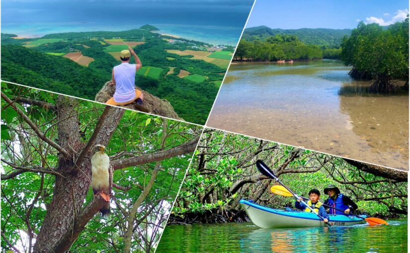
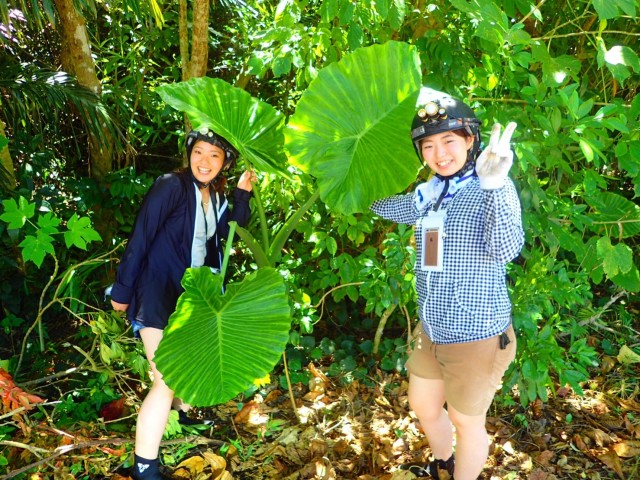
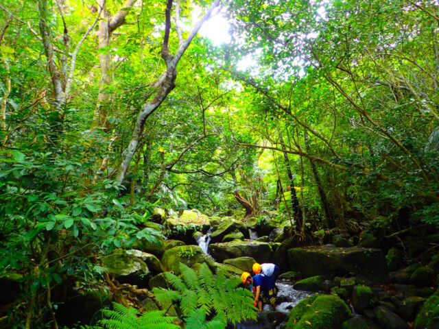
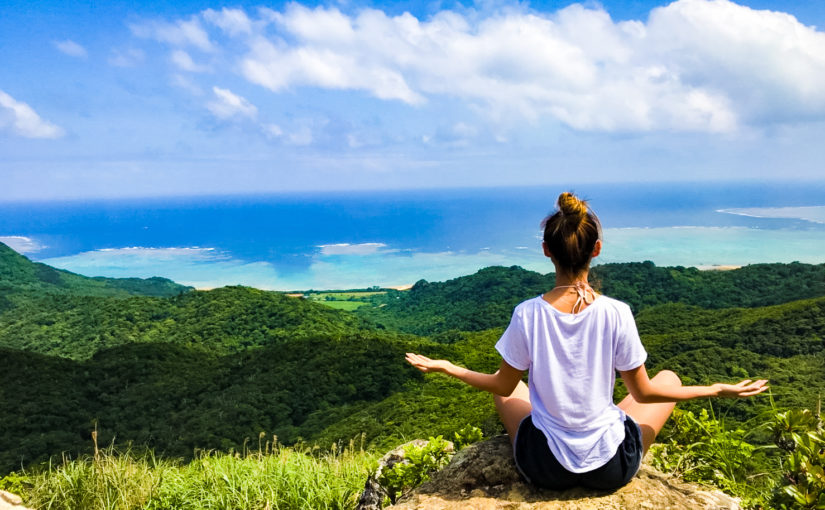
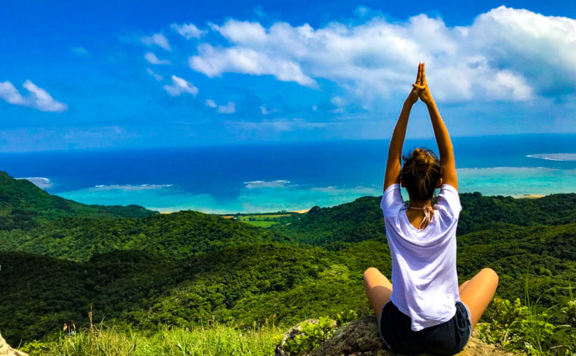
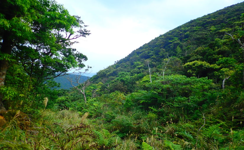
The mountains of Ishigaki Island are also popular tourist spots boasting of their rich nature and spectacular views, just like the sea. Many hills are scattered in various places.Trekking and bird watchingcan be enjoyed.
It is an important place not only for tourists but also for island residents to refresh their bodies and minds while getting in touch with nature.
This article introduces such representative mountains of Ishigaki Island.
◆If you want to know the characteristics of the mountains of Ishigaki Island
◆If you want to know about the plants of Ishigaki Island
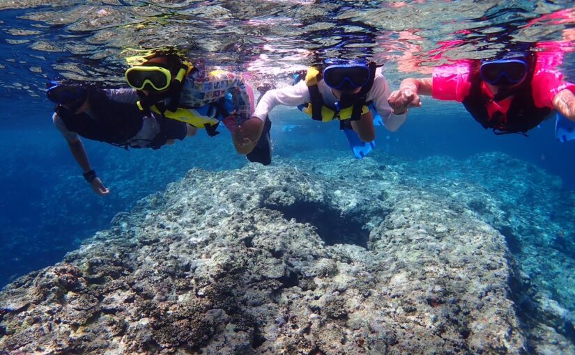
◆Those who want to know about activities where you can enjoy the nature of Ishigaki Island to the fullest.
Check out Ishigaki Island trekking tours!
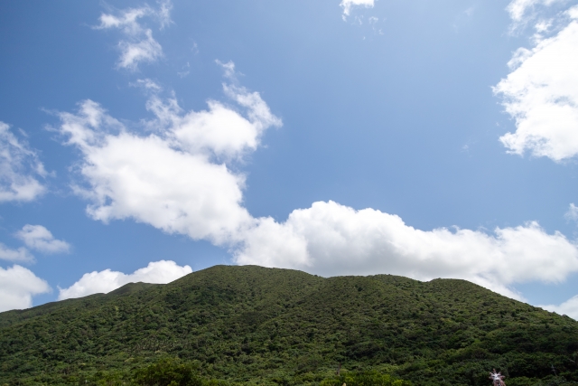
Characteristics of the Mountains of Ishigaki Island
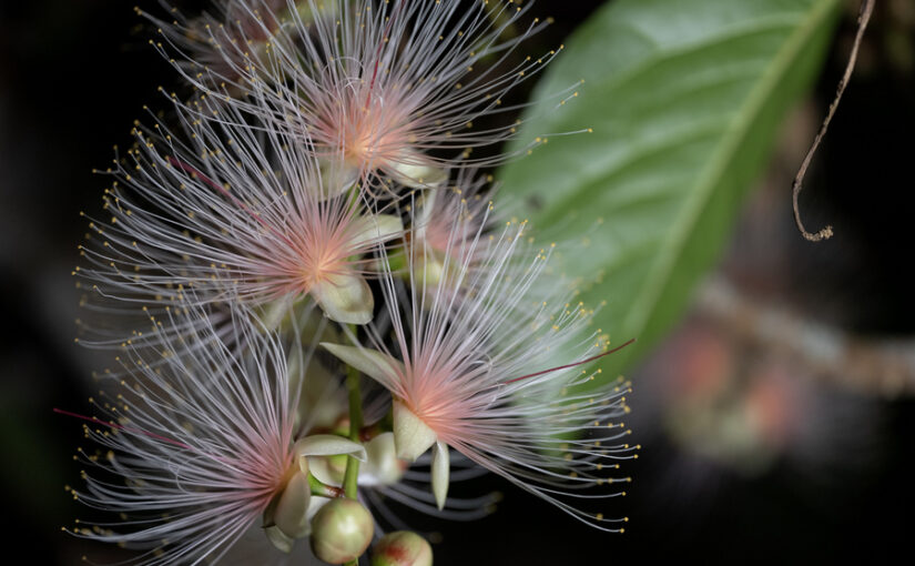
Okinawa Prefecture is the only prefecture in Japan with a subtropical climate, which allows visitors to see subtropical flora and fauna that cannot be seen in Honshu.
In particular, the plants are basically large, and the leaves and flowers are colorful. With something in bloom all year round, visitors can enjoy observing plants no matter what season they visit.
Check out Ishigaki Island trekking tours!
5 plants you can see in the mountains of Ishigaki Island
Let us introduce some typical plants that can be seen in the mountains of Ishigaki Island.
Plants that can be seen in the mountains of Ishigaki Island (1)
Litsea coreana (species of tree in the laurel family)
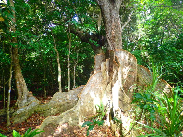
Saxifragaceae is a tall evergreen tree of the family Aogiriaceae that grows in the subtropical regions of Amami Oshima, Okinawa Island, Ishigaki Island, and Iriomote Island, reaching a height of 2 meters.
Board-like appearance.Japanese yew (Taxus cuspidata)is characteristic, and this plank root was also used for ship's rudders. The Saxifragaceae tree colony of Ntanara in Ishigaki Island and the Saxifragaceae tree colony of Komi in Iriomote Island arenatural monumentIt is also designated as a
Plants that can be seen in the mountains of Ishigaki Island (2)
modama
Modama is the largest bean in Japan, with pods reaching over one meter in length and beans up to five centimeters in diameter, and was the model for Jack and the Beanstalk.
Because it grows wild in forests along streams, when the beans fall into rivers, they drift through the sea to various remote islands, spreading their distribution.
Plants that can be seen in the mountains of Ishigaki Island (3)
water yam (Dioscorea alata)
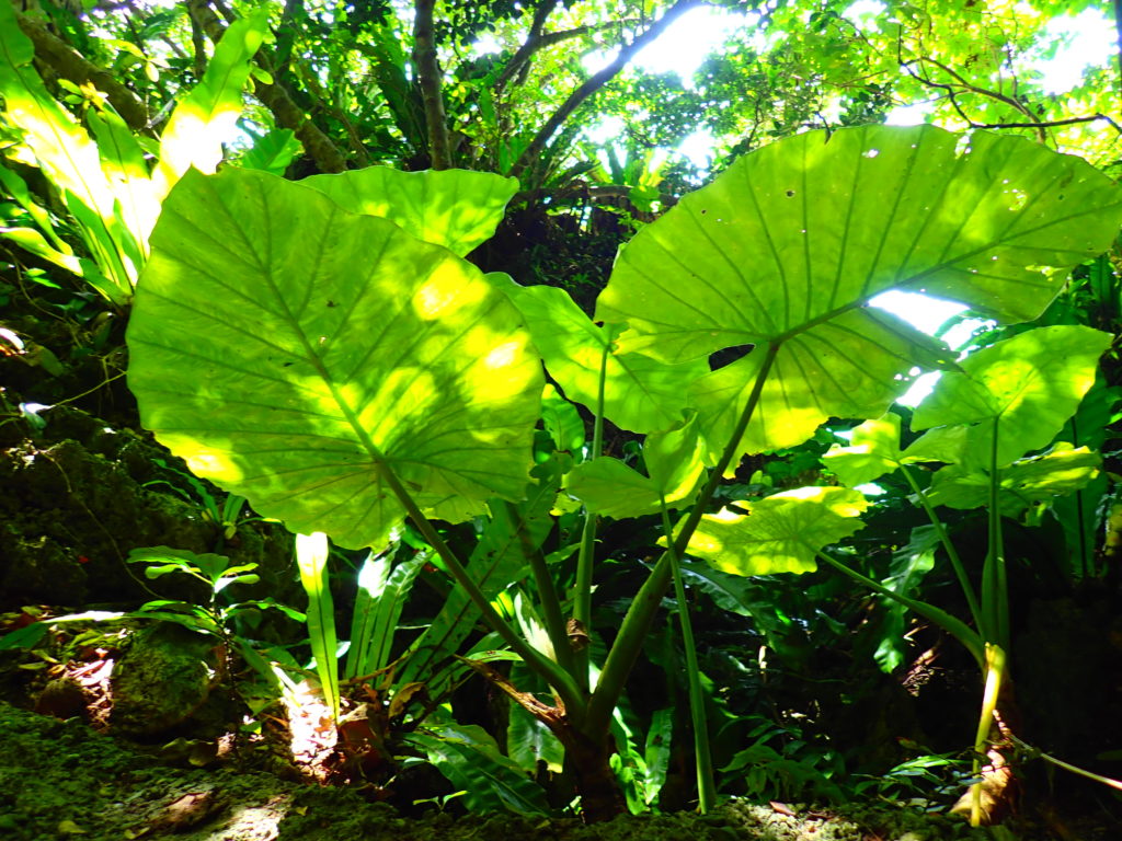
Kwazuiimo is a member of the satoimo family and is popular as an ornamental plant in Honshu. In Ishigaki Island, it is a plant often seen not only in the mountains but also in private gardens and along roads.
It looks like a taro, but as the name "taro without food" implies, the storage stem is poisonous and inedible.
At the top of the storage stem is a stalk over 1 meter long with large leaves that can reach 60 cm in length.
Plants that can be seen in the mountains of Ishigaki Island (4)
yew plum pine (Podocarpus macrophyllus)
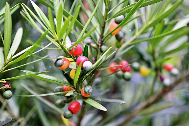
Because of its water resistance and resistance to termites, inumaki was used for pillars supporting the rain edges of traditional Okinawan red-tile buildings.
There was a proposal to use inumaki trees from Ishigaki Island for the reconstruction of Shurijo Castle, but it was cancelled due to opposition from residents to the cutting of trees.
Plants you can see in the mountains of Ishigaki Island (5)
scarlet cherry (Prunus incisa)
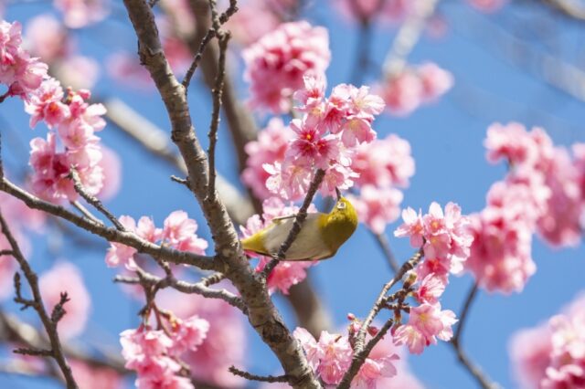
The scarlet cherry is the earliest blooming cherry tree in Japan and is said to have been brought to Japan by the former army.
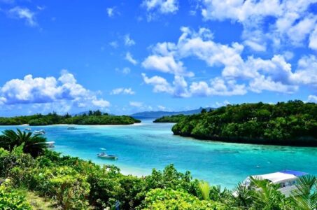
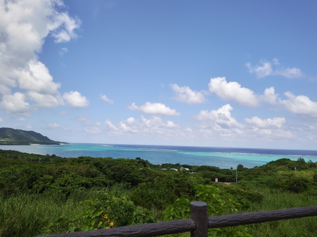
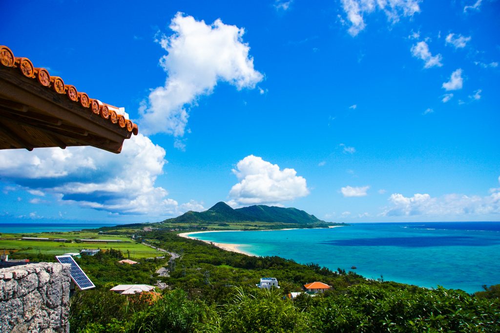
In Ishigaki IslandFlowering around January to FebruaryThe pink coloring amidst the green of the mountains is very beautiful.
You can also see them at Kabira Bay, the No. 1 tourist spot in Ishigaki Island, and upstream of Arakawa Falls.
Check out Ishigaki Island trekking tours!
List of Mountains in Ishigaki Island
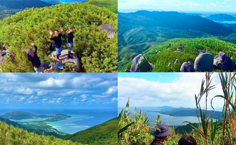
Let me introduce you to the mountains of Ishigaki Island, which are rich in nature.
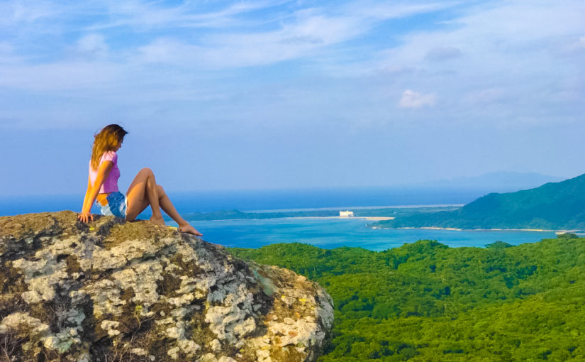
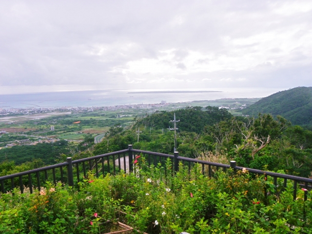
Mt. Nosoko (Ma Pei)
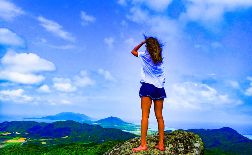
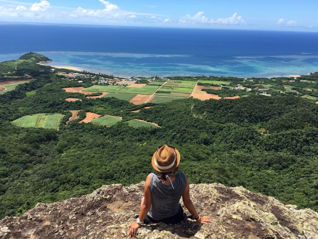
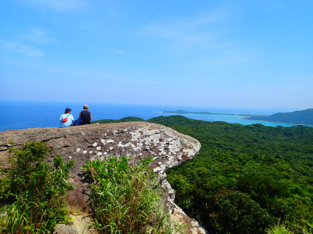
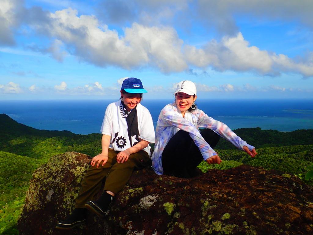
Mt. Nosoko isThe Legend of Ma Peialso known asPower spot for loveIt is a mountain with one of the most spectacular views in the world.
Often used for trekking tours, there is a course that starts at the foot of the mountain and takes nearly an hour, and an easier course that takes a car to the halfway point.
The summit is completely unobstructed, offering a spectacular 360-degree panoramic view.
Address: Nosoko, Ishigaki City, Okinawa Prefecture
Access: 25 minutes by car from Shin-Ishigaki Airport, 35 minutes from Ishigaki Port Terminal
↓Nosoko-dake! Click here for trekking tours
Omotodake
Omotodake is the highest mountain in Okinawa Prefecture at 525.5 meters above sea level. Because it is the highest point on the island, it is a symbolic mountain and an object of worship.
Omotodake is a mountain designated as a national park and a national natural monumentLong-billed murrelet and crested serpent eagleto see the
Omotodake is also an important water source, supporting the lives of Ishigaki Islanders and providing the raw material for delicious Awamori.
Address: Tonoshiro, Ishigaki City, Okinawa Prefecture
Access: 20 minutes by car from Shin-Ishigaki Airport, 30 minutes from Ishigaki Port Remote Island Terminal
Yarabudake (Mt. Yarabu)
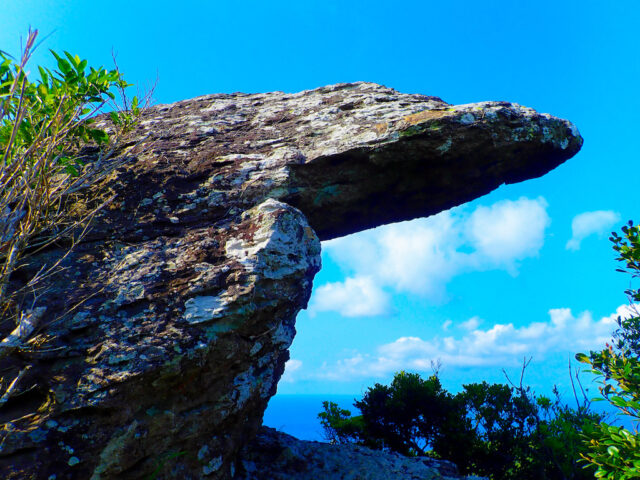
Mt. Yarabatake istroll's tongueThe symbol of this 216.5-meter-high mountain is a huge rock called "Huangshan" (meaning "rock" in Chinese). It is a popular place to climb up for a panoramic view of the island and as a photo spot that looks great on SNS.
Mt. Yarabedake, like Mt. Nosoko, can be climbed by car to the remaining 70m, and students from the local Sakieda Elementary and Junior High School often climb this spot, so feel free to try trekking there.
Access: 30 minutes by car from downtown Ishigaki
Parking: No dedicated parking, paid parking available nearby.
↓Yarabatake held! Click here for recommended tours
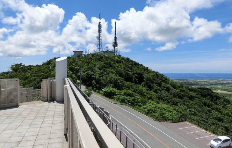
Mt. Vanna
Banna-dake is located in the central part of Ishigaki Island's largest prefectural forest park.
In various parts of the park, there areviewing platformare also installed,athleticThere are also zones where visitors can have hands-on experiences, spots for bird watching, and zones where they can enjoy exhibitions and observation, such as the Insectarium and Botanical Garden.
Spring.Rhizophora mucronata (species of midge)can be seen flashing in flight.
Address: 961-15 Ishigaki-city, Okinawa, Japan
Access: 15 minutes from Ishigaki Port Terminal
unpresentable Mt. Basho (in Japanese mythology)
Buzama Hill is a 322-meter-high mountain that takes about 50 minutes to climb.
Buzama is a Yaeyama word for tailThe name "Buzadake" comes from the fact that Mt. Omotodake towers long like a tail.
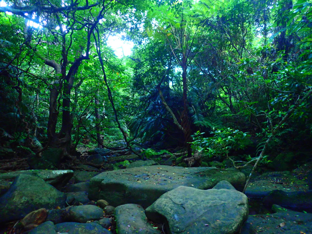
The path is deep green and gentle, and jungle trekking can be enjoyed.
Address: Aza-Nagura, Ishigaki City, Okinawa, Japan
Access: 30 minutes by car from the city center
Mt. Kala (Mt. Kala)
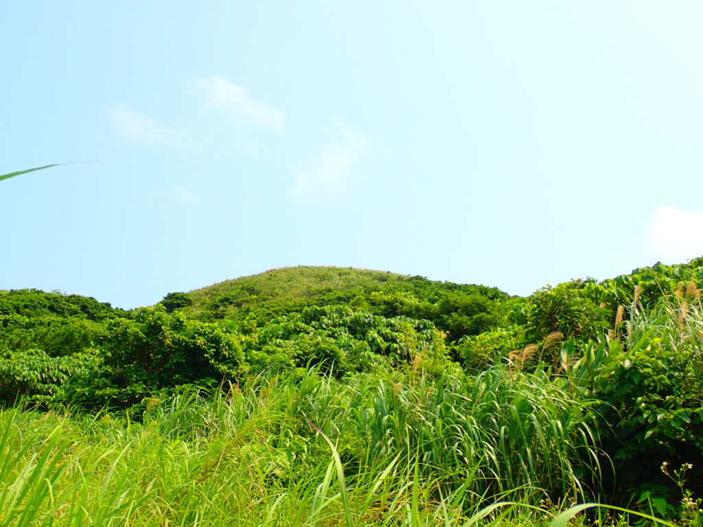
Cala Hill is a green hill with few trees and an elevation of about 136 meters, which can be climbed in about 15 minutes.
Because there are almost no trees to serve as windbreaks, the wind is very strong as it is directly exposed to the sea breeze,paragliderAlso popular as a point of reference.
It is also a good photo spot since the New Ishigaki Airport is located nearby.
Address: Aza Shiraho, Ishigaki City, Okinawa
Access: 5 minutes by car from Shin-Ishigaki Airport
Mt. Hannadake
Hannadake is a 238-meter-high mountain located near the triangular point on Ibaruma Island. It can be viewed from the Tamatorizaki Observatory.
From the mountain, facing the East China Sea to the west.Sabichi CaveThe Pacific Ocean is on the east side of the city.Ibaruma FarmYou can see the
Address: Ibaruma, Ishigaki City, Okinawa, Japan
Access: 20 min. walk from Ibaruma bus stop (Higashi Bus)
mountain in the vicinity of Mt Fuji
Although Mt. Yamato is not very high, it is not used as a trekking course, so there are few footprints on the trail, and the path is overgrown with vines and silver grass, so it is necessary to cut the path as you go along.
Nearby is Hirakubo, designated as a national natural monument.Yaeyama Citizens' Communityand ... andflower petals fallen on water, resembling a spider flower (esp. Pelecanoides urinatrix)There is a native habitat of
Address: Aza-Hirakubo, Ishigaki City, Okinawa, Japan
Access: Approx. 33 min. walk from Hirano bus stop (Higashi Bus)
Mt. Anrya (in Japanese mythology, usu. Mt. Fuji)
Mt. Anradake is a 336-meter-high mountain located in the northern part of the Hirakubo Peninsula.
The trekking course includesHuge rocks and trees, remains of wind burial, cattle fence enclosuresThe course is full of highlights such as
However, since the course is marked only by an indicator tape, we recommend that you go with someone who knows the area so that you do not get lost.
Address: Aza-Hirakubo, Ishigaki City, Okinawa, Japan
Access: 10 min. walk from Hirakubo bus stop (Higashi Bus)
Mt. Kinmu (in Kyoto)
Mt. Kinmudake was formed by volcanic ash and lava from the Nosoko Formation, which erupted 40 to 50 million years ago when Ishigaki Island was connected to the mainland.
From this mountain, a pointy silhouetteOkinawa marbled rockfish (Sebastiscus marmoratus)can also be seen.
Address: Ibaruma, Ishigaki City, Okinawa, Japan
Access: 12 min. walk from Tamatori bus stop (Higashibus)
Mount Hola
Mt. Hoola is a mountain located in the northern part of the island center and is a minor trekking course with few climbers.
Mt. Houra, like Mt. Anra, is also marked with indicator tapes, and from the summit, there is a triangulation point and aMt. Omoto, Mt. Umanufa, Mt.can be desired.
Address: Aza-Beikai, Ishigaki City, Okinawa
Access: 8 min. walk from Ota bus stop (Higashibus)
Kuura-dake
Kuura-dake is not very steep and has few dangerous spots, making it a good trekking destination for beginners.
However,leechIt is important to note that there are many
There is an Akashi produce cooperative near Kuuradake, where you can buy fresh vegetables at a reasonable price.
Address: Aza-Hirakubo, Ishigaki City, Okinawa, Japan
Access: 13 min. walk from Kuuradake bus stop (Higashi Bus)
Mt. Oura
Mt. Oura is a 29.6-meter-high mountain where the Mt. Oura Sea Erosion Cave is located.
In the middle of this mountainsideTila (planet)The lioness is standing on a rock calledRyukyu tip (species of fish, Cynoglossus joyneri)(red mouth).
The lion is still in place today because a famine and plague that struck around 1792 were believed to have been caused by the Tila Stone, and the placement of a staring lion on the rock solved the problems.
Address: Ibaruma, Ishigaki City, Okinawa, Japan
Access: 23 min. walk from Funakoshi bus stop (Higashibus)
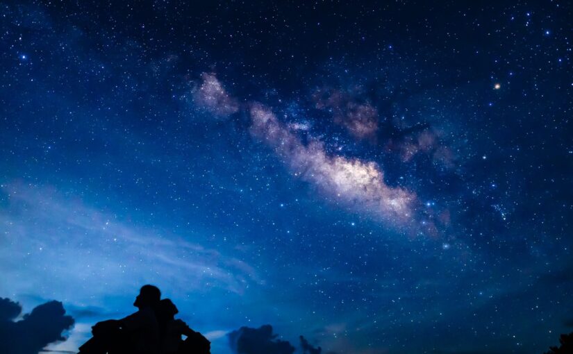
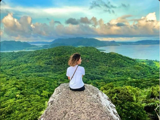
Maesedake (Maesedake Observatory)
MaesedakeIshigakijima ObservatoryFrom the top of the mountain, Taketomi Island can be clearly seen in the southwest direction.
It is also a popular hidden spot for viewing sunsets, night views, and starry skies.
It is accessible by car, but be careful driving at night!
Address: Aza-Shinkawa, Ishigaki City, Okinawa
Access: Approximately 40 minutes by car from the remote island terminal
front part of a structural member
Mae-take is a 263-meter-high mountain that rises southwest of Kabira village in the northwestern part of Ishigaki Island.
In Kabira village, the whole area, including Mae-take, is called Mangyama, the place name."Mountain in front of the villageIt is said to have been named Mae-bulk, derived from the word "mae-bulk.
It is recommended to have a local or experienced person guide you.
Wear sturdy shoes and gloves that can grip the rope firmly.
Address: Aza-Kawahira, Ishigaki City, Okinawa, Japan
Access: 20 minutes by car from the city center
summary
We introduced the mountains of Ishigaki Island.
Ishigaki's mountains have various attractions such as the highest mountain in Okinawa Prefecture and power spots for romance. Please try trekking when you visit Ishigaki Island.
Thank you for reading to the end.
↓Click here to read the article.