")
Map summary of the Yaeyama Islands! Easy-to-understand explanation of the ferry route from Ishigaki Island and its location with Miyako Island!
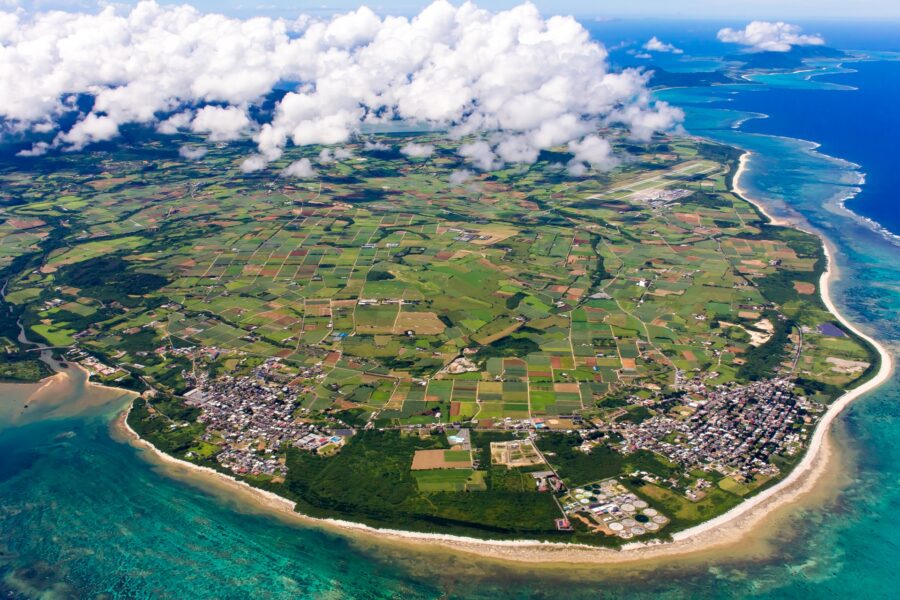
Table of Contents
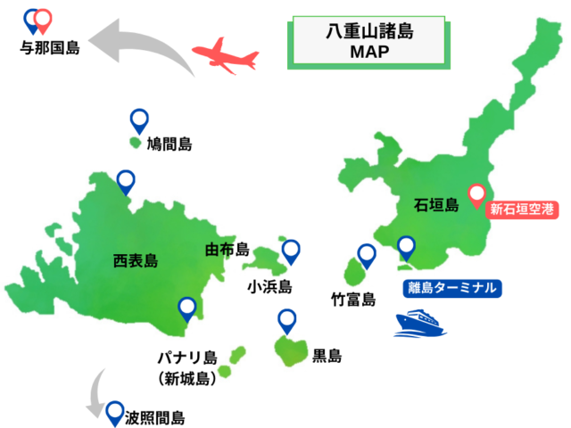
- 1 Where are the Yaeyama Islands? Let's check the whole picture on the map!
- 2 What are the Yaeyama Islands? Map showing the location of the Yaeyama Islands in relation to Okinawa and Miyako Island
- 3 Ishigaki Port is the base! Ferry route map and time required to each remote island
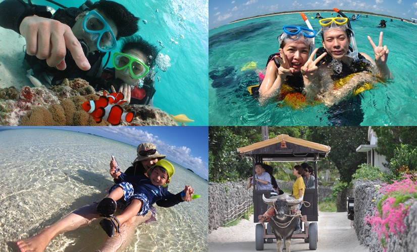
- 4 You can take a day trip from Ishigaki Island! Major Islands of Yaeyama Islands
- 5 Getting around Ishigaki Island is by rental car or local bus! Traffic Map and Major Spots
- 6 Maps of the Yaeyama Islands Frequently Asked Questions (FAQ)
- 7 summary
Where are the Yaeyama Islands?
Check out the map to see the whole picture!
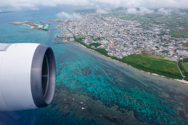
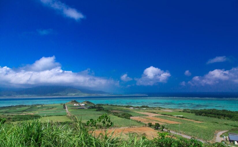
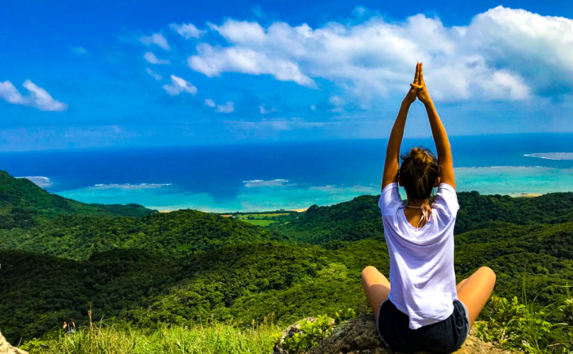
The Yaeyama Islands are a remote island area located in the southwestern part of Okinawa Prefecture, with beautiful marine blue waters and rich nature.
Map.Closer to Taiwan than the main island of OkinawaThe climate is subtropical, with bright flowers blooming all year round.
We will introduce these islands, which attract many tourists every day as Japan's best "tropical resorts," in their entirety, based on their geography!
◆To know the difference between Miyako Island and Miyako Island on a map.
◆For those who want to know the location of the Yaeyama Islands on a map.
◆Those who want to plan a sightseeing route with a map of the Yaeyama Islands.
Click here to see the ranking of popular Ishigaki Island tours.
What are the Yaeyama Islands?
Map showing location with Okinawa and Miyako Island
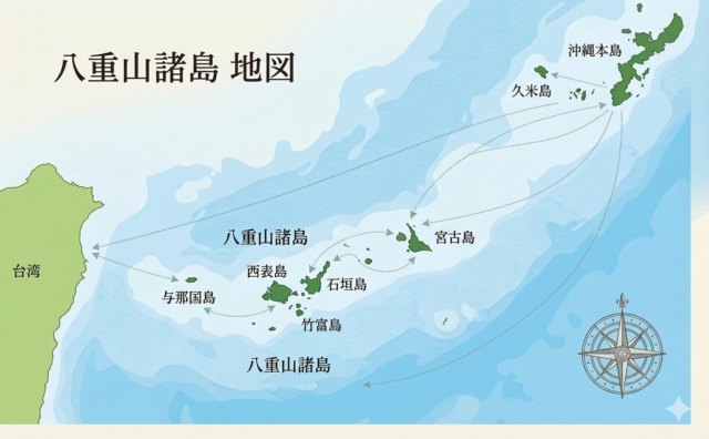
The Yaeyama Islands are located in the southwesternmost part of Okinawa Prefecture,Ishigaki Islandinterpoint (interword separation)Iriomoteinterpoint (interword separation)Several remote islands such as Taketomi IslandThis tourist area consists of
Located more than 400 km away from the main island of Okinawa, about an hour's flight from Naha, it is known as one of the best tropical resorts in Japan.
furthermoreStraight line distance from Miyako Island is about 120-150 kmThey are far apart, and knowing their location on a map greatly enhances the accuracy of travel plans.
Should I go to the Yaeyama Islands or Miyako Island?
Miyako Island is attractive for its emerald green sea and beautiful beaches, and the islands are connected to each other by bridges such as the Irabu Bridge.Easy to rent a car for transportation.It is.
On the other hand, the Yaeyama Islands are based on Ishigaki Island.Enjoy touring the islands by ferrystyle, you can enjoy a variety of experiences such as the mangroves of Iriomote Island and the traditional villages of Taketomi Island.
| (data) item | Yaeyama Islands (Ishigaki Island and vicinity) | Miyako Island Area |
|---|---|---|
| Main Features | There are many island hopping and nature experiences. Visitors can enjoy a variety of sightseeing such as the mangroves of Iriomote Island and the traditional villages of Taketomi Island. | Clear beaches and spectacular drives are the attraction. It has a strong resort feel and is ideal for a relaxing stay. |
| Means of transportation | Take a ferry from Ishigaki Port to each remote island (Taketomi, Iriomote, Kohama, etc.) | The islands are connected by bridges and can be reached by rental car. |
| Typical Sightseeing Spots | Kabira Bay, Iriomote Island, Taketomi Island, Kohama Island, Kuroshima Island | Yonaha Maehama Beach, Irabu Bridge, Shimoji Island, Kushima Island |
| natural (physical) environment | Abundance of untouched nature such as jungle and mangrove | Mainly white sand beaches and coral reefs |
| Distance from Okinawa Main Island | Approx. 400 km or more (approx. 1 hour by plane) | Approximately 300 km (50 minutes to 1 hour by plane) |
| Distance to Miyako Island | Approx. 120 - 150 km (Ishigaki Island - Miyako Island) | Approx. 120-150 km (in the direction of the Yaeyama Islands) |
| Moving between areas | There is no regular ferry service between Ishigaki Island and Miyako Island, and travel is by air only. | |
There are no regular ferries between Ishigaki Island and Miyako Island, and travel is by air only, so it is important to consider separate areas when planning a trip.
↓Click here to read the article.
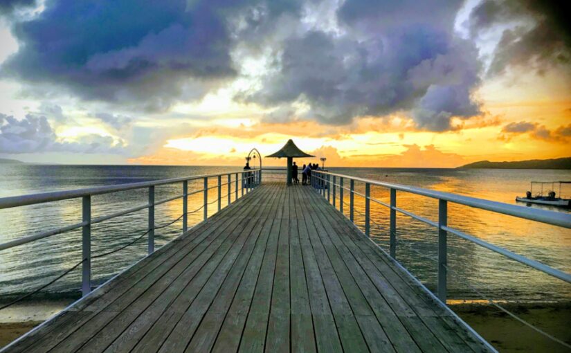
Ishigaki Port is the base!
Ferry route map and time required to each remote island
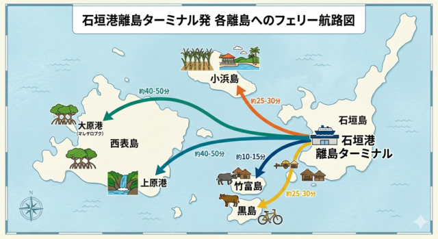
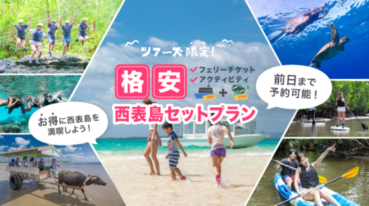
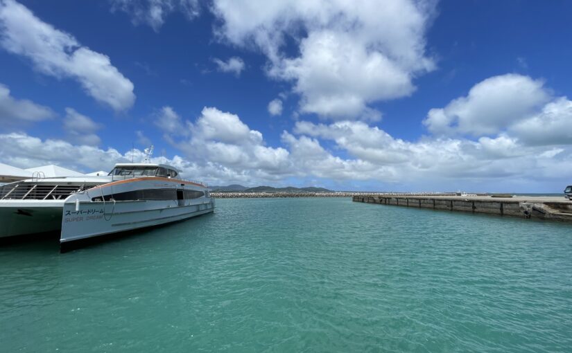
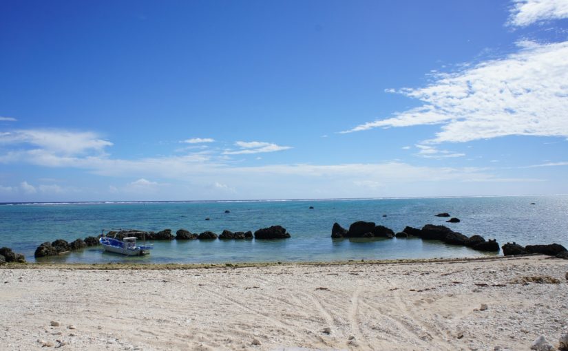
When accessing the remote islands of the Yaeyama Islands from Ishigaki Island, you can use the Ishigaki Port Remote Islands Terminal as a base.Ferry useis the basis.
Regular boats operate to each island, making it possible to get to each island in a short time, making it suitable for day-trip sightseeing.
By knowing the route and time required in advance, a lean and efficient tour of the islands can be realized.
↓For more information about ferries from Ishigaki Island to the islands, please click here.
Click here to see the ranking of popular Ishigaki Island tours.
List of major ferry routes and the time required to reach each remote island
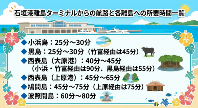
From Ishigaki Port, ferries operate to Taketomi Island (10-15 minutes), Kohama Island and Kuroshima Island (25-30 minutes), and Iriomote Island (Ohara Port and Uehara Port: 40-50 minutes).
All of these islands are located relatively close to each other, so you can visit more than one island.Island hopping also availableIt is.
The time required varies slightly depending on the type of boat and sea conditions, so it is important to schedule your trip well in advance.
↓ From/to Ishigaki Island! Click here for recommended tours to remote islands.
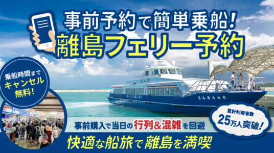
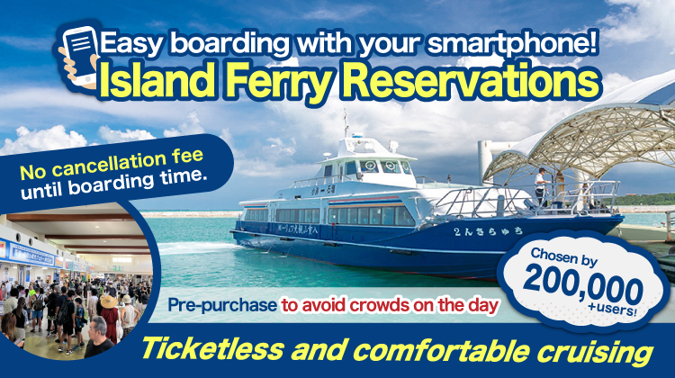
Easy boarding with just one phone!
Click here for convenient advance reservations.
Ferry Timetable, Sailing Schedule and Notes

Ferry schedules vary depending on the season and day of the week,Cancellation of flights due to typhoons and strong windsIt is important to confirm in advance!
In particular, the route to Uehara Port in Iriomote Island is easily affected by waves, and there are cases in which the route is changed to Ohara Port.
Because the rooms may be fully booked during peak season,Early ticket purchase and round-trip reservationsand make sure you have enough time to spare.
| destination | Main departure times (from Ishigaki) | Last flight (approx.) | the time required |
|---|---|---|---|
| Taketomi | 7:30 / 8:30 / 9:30 / 10:30 / 11:30 / 13:00 / 14:00 / 15:00 | Around 17:30 | Approx. 10-15 min. |
| Kohama | 8:00 / 9:30 / 11:00 / 13:30 / 15:30 | Around 17:30 | Approx. 25 to 30 min. |
| Kurushima | 8:30 / 11:30 / 15:00 | Around 16:30 | Approx. 25 to 30 min. |
| Iriomote Island (Ohara Port) | 7:30 / 9:00 / 11:00 / 13:00 / 15:00 | Around 16:30 | Approx. 40-45 min. |
| Iriomote Island (Uehara Port) | 8:00 / 9:30 / 13:00 / 15:30 | Around 16:30 | Approx. 45-50 min. |
*This time is an estimate as of March 2026.
Ferry schedules are subject to change depending on the season, day of the week, and sea conditions, so please check the official website of each shipping company for the latest information.
For the latest ferry service information
Check here!
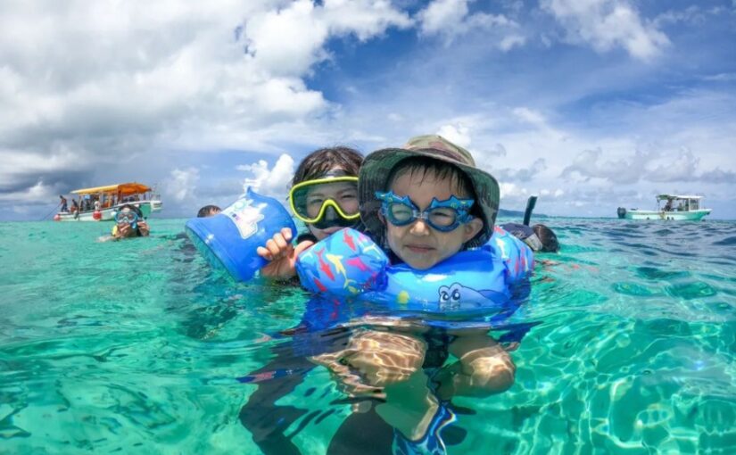
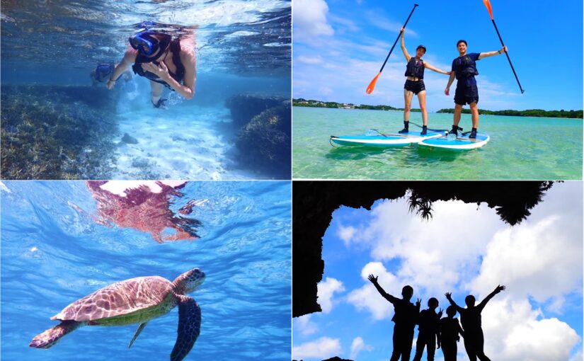
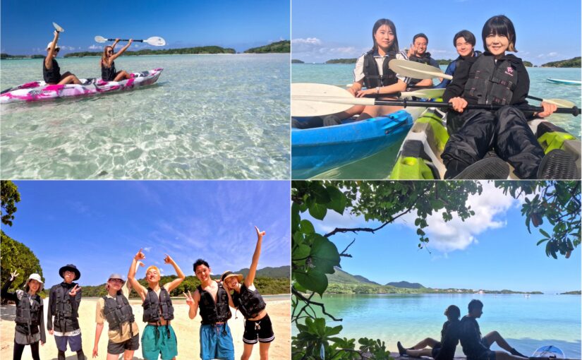
It can be reached by day trip from Ishigaki Island!
Major Islands of the Yaeyama Archipelago
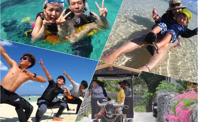
From Ishigaki Island, several remote islands can be reached by day trip.island hopping A popular excursion called "Circular Sightseeing" Â
Although each island is close in distance, the nature, culture, and activities differ greatly, so the key to satisfaction is to choose a destination that meets your objectives.
Here.Characteristics of Typical Remote Islandsto organize and find the right sightseeing style for you.
Learn more about touring the remote Yaeyama Islands ↓↓.
Click here to book a ferry to an outlying island.
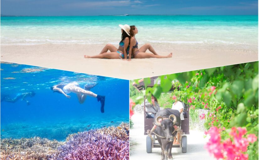
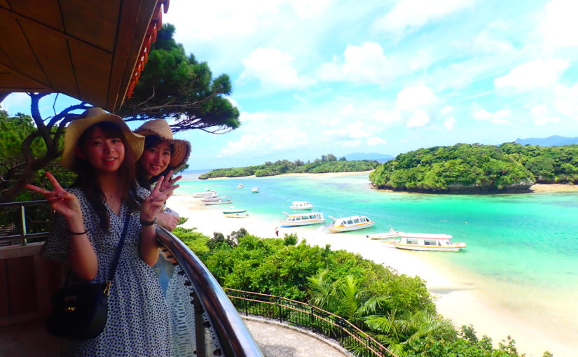
Taketomi

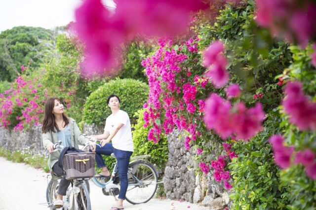
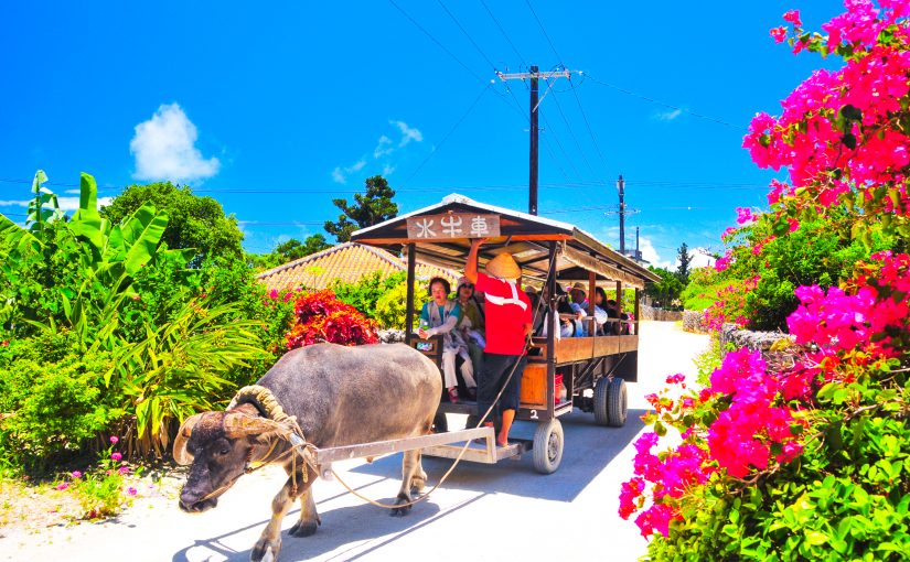
Taketomi Island, a 10-minute ferry ride from Ishigaki Port, is an island with beautiful red-tiled houses and white sand roads that retain the traditional Okinawan scenery.
Renting a bicycle and leisurely touring the island is recommended.Star Sand Beach and Kondoi BeachBeautiful beaches such as the following are also highlights.
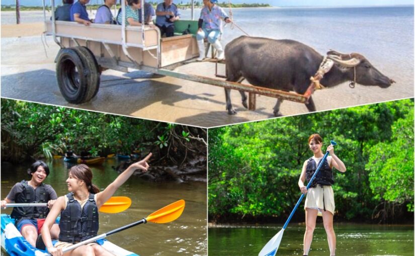
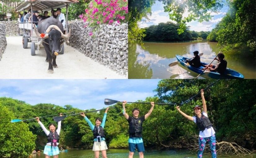
Since it is a small island, you can visit the main spots in half a day. A leisurely ride in a buffalo cart through the villages is also recommended.
Time required: approx. 10 to 15 minutes
Number of services: about 1 per hour
Approximate fare: about 800 yen one-way
↓Click here for recommended tours including Taketomi Island.
Click here for the popular tour ranking of Taketomi Island
↓Click here to read the article.
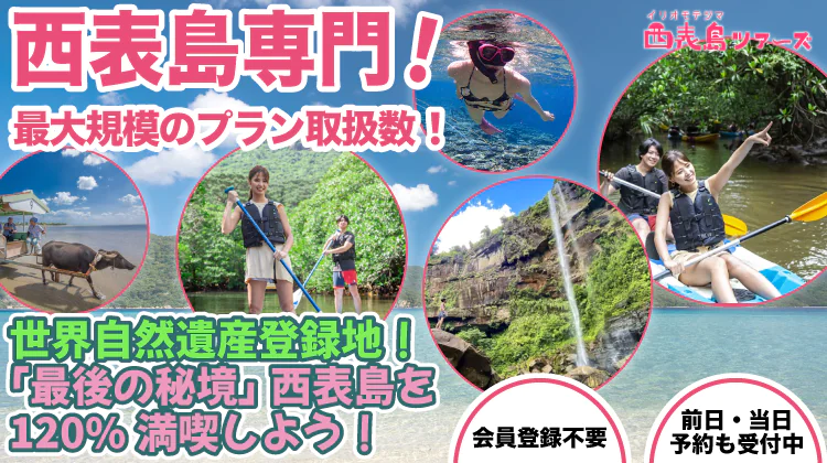
Iriomote
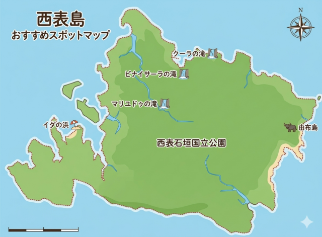
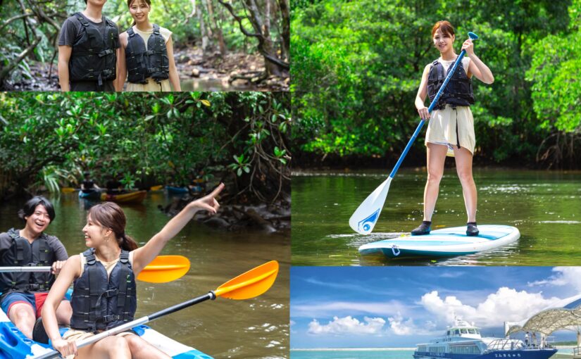
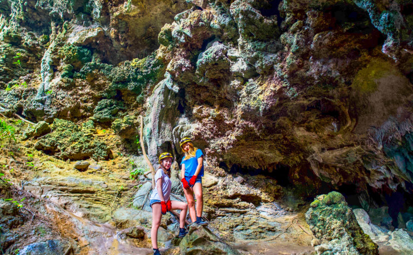
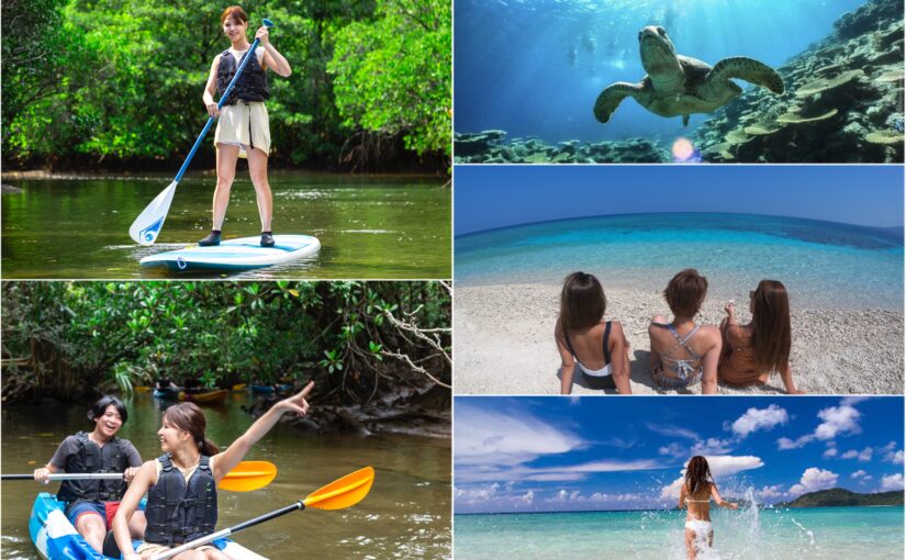
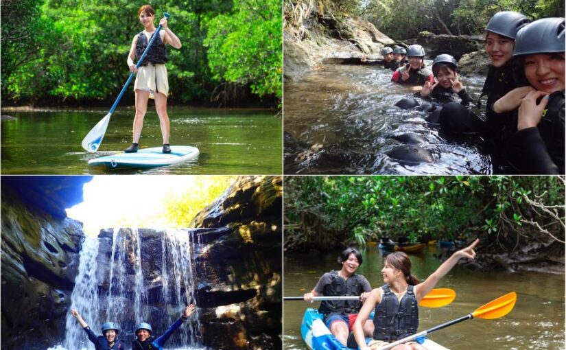
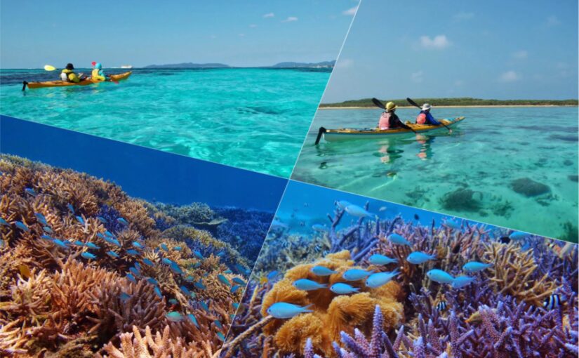
Iriomote Island, with its pristine nature of jungles, waterfalls, and mangrove forests, is perfect for adventure lovers.
The major ports areUehara Port and Ohara Portand both ports are about an hour's drive apart, so choose the port that best suits your plans!
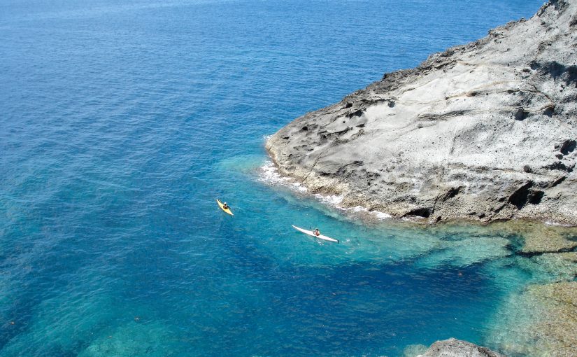
There are many activities available, such as canoeing and a buffalo cart tour to Yubu Island. Since the island is large, participation in a tour is recommended for a day trip.
Travel time: Uehara Port/approx. 45 to 55 minutes, Ohara Port/approx. 40 to 50 minutes
Number of services: 4 to 6 per day
Approximate one-way fare: 2,000 yen to 3,000 yen
↓Click here for recommended tours including Iriomote Island.
Ranking of popular tours in Iriomote Island
(Iriomote Island specialized site) is here.
↓Click here to read the article.
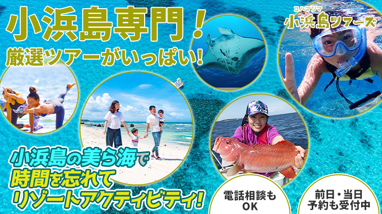
Kohama
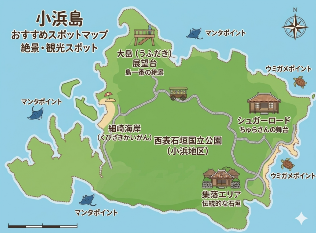
Kohama Island, with its spectacular view from high above, is about a 30-minute ferry ride away.NHK Drama "ChurasanIt became famous as a location for the
You can rent bicycles to go around the island, and the idyllic meadows and beaches will tickle your travel fancy.
There are also a number of large resort hotels, and whether for a day trip or an overnight stay, you can spend your time as you wish on this remote island.
Time required: approximately 25 to 30 minutes
Number of services: approximately 6 per day
Approximate fare: 1,500 yen (one way)
↓Click here for recommended tours including Kohama Island.
Popular Tour Ranking in Kohama Island
(Kohama Island's specialized website) click here
↓Click here to read the article.
Kurushima
The heart-shaped Kuroshima has more cows than population."Cow Island". It is accessible by ferry in about 30 minutes.
Biking and snorkeling can be enjoyed on the quiet island, and visitors can enjoy a relaxing island time.
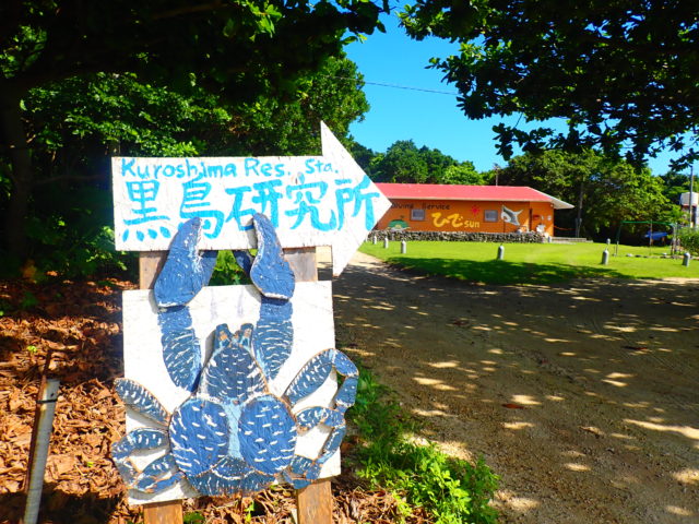
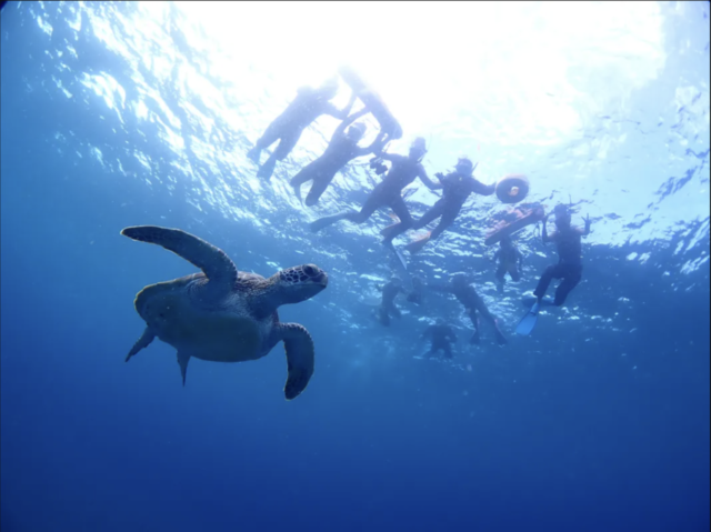
The Kuroshima Research Institute is a marine biology research center established in 1975. It has a permanent exhibition room where animals and folk artifacts living on Kuroshima are displayed.
You can also experience feeding sharks and sea turtles.
Time required: approximately 25 to 30 minutes
Number of services: approximately 6 per day
Approximate fare: 1,500 yen (one way)
↓Click here for recommended tours that include Kuroshima.
Click here to see the ranking of popular tours to Kuroshima.
Getting around Ishigaki Island is by rental car or local bus!
Traffic Map and Major Spots

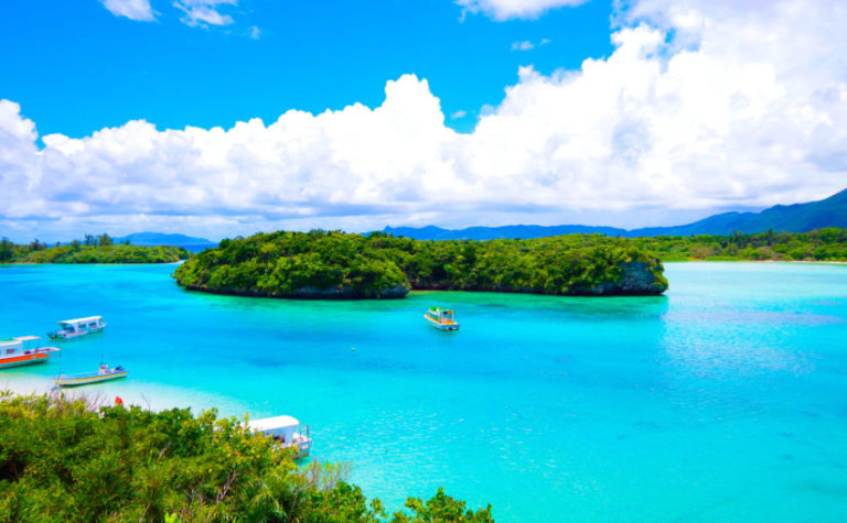
The use of a rental car is the most common way of sightseeing in Ishigaki Island,Kabira Bayand ... andTamatorizaki Observatory, ,Hirakubozaki LighthouseYou can efficiently visit major spots such as
Local buses are also available, but their limited frequency somewhat restricts their ability to freely visit tourist attractions.
By understanding the location of tourist spots on the map and using rental cars and buses according to the length of stay and purpose of your trip, you can make your trip more comfortable and fulfilling.
↓Click here for popular car rentals on Ishigaki Island.


Popular Ishigaki Island Car Rental Plans
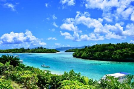
1) Kabira Bay
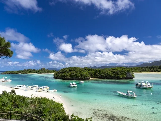
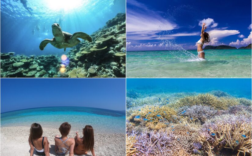
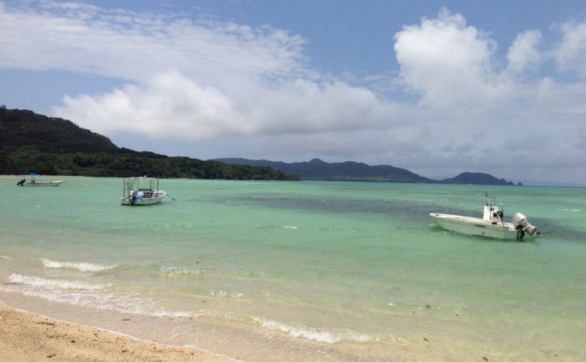
The most famous scenic spot in Ishigaki Island. The emerald green sea and white sandy beaches spread out, and short cruises on glass boats are popular.
Swimming is prohibited due to the fast currents, but the view from the observatory is breathtaking. If you visit the island, this is a must-see.
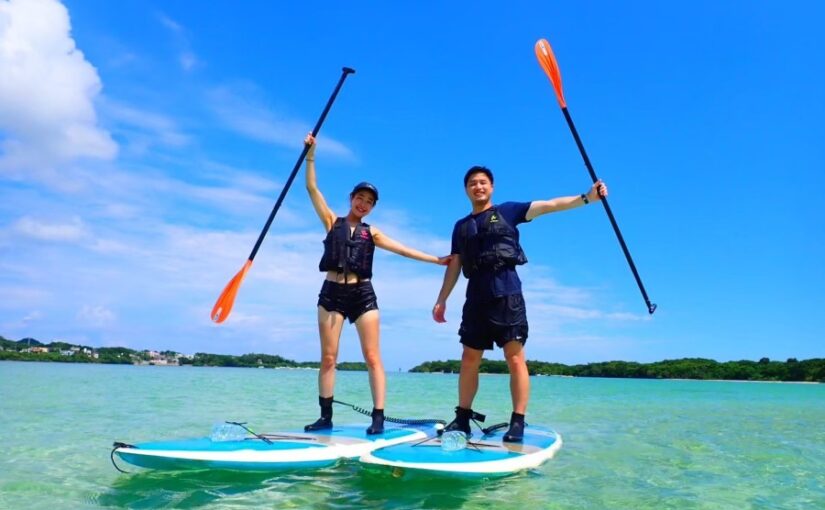
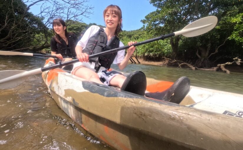
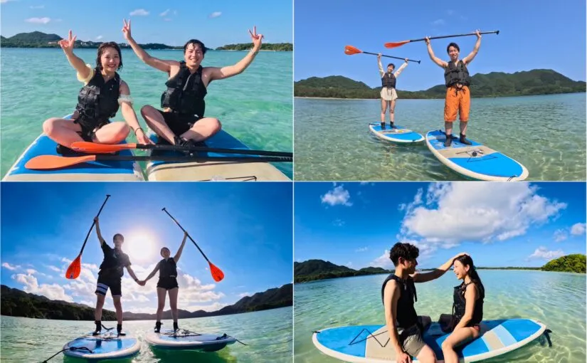
If you take a tour,SUP and canoeingYou can also experience activities such as
Access: 25 minutes by car from Ishigakijima Airport, 30 minutes by car from the remote island terminal
↓ Kabira Bay is held in Kabira Bay! Click here for recommended tours
Click here for popular Kabira Bay Tour plans
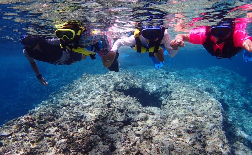
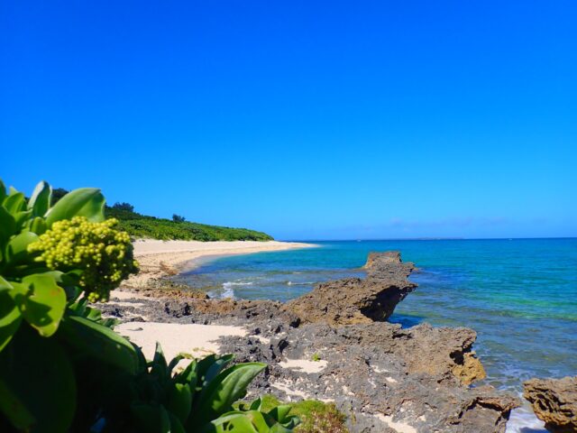
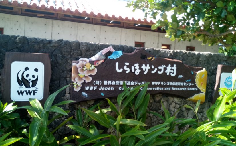
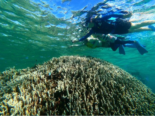
Shiraho Coast
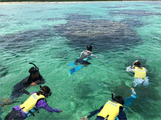
The Shiraho Coast is rich in coral reefs and fish,Popular snorkeling spotsThe following is a list of the most common problems with the
It is easily accessible, being only a 15-minute drive from the airport. Shiraho village is an area that retains an old Okinawan atmosphere and is dotted with guest houses and cafes.
You can enjoy both playing in the ocean and walking around town.
Access: 5 minutes by car from Ishigaki Airport
Operating period: Year-round
Facilities: Restrooms are available in Shiraho Coral Village
↓Click here for recommended tours related to Shiraho Coast
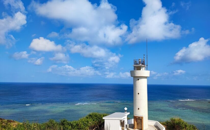
(iii) Heirakubozaki
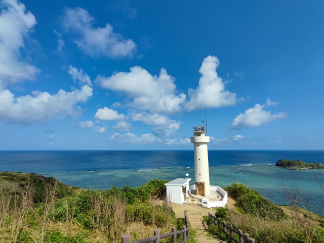
Northernmost tip of Ishigaki IslandThis lighthouse spot is located on the The cape overlooks the Pacific Ocean and the East China Sea, providing a sense of openness.
It is also a great place to visit at the end of a road trip. You can enjoy a spectacular view like the end of the world.
Access: 50 minutes by car from Ishigaki Airport
(4) Nosoko Marpei
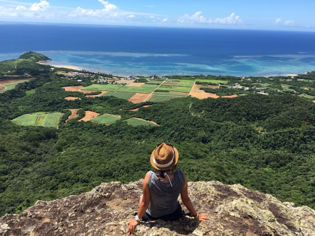
This 282-meter-high mountain is known for the "legend of Ma Pei," a tragic love story of a man who turned to stone for his lover. Climb to the top.Panoramic view of Ishigaki IslandThe 360-degree panoramic view that can be
A 30-minute light hiking course is available, perfect for those who want to enjoy nature while getting some exercise.
Access: Approximately 40 minutes by car from the remote island terminal
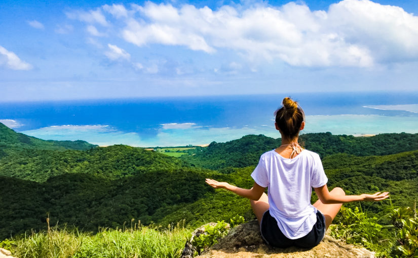
↓Click here for Nosoko-dake related activities! ↓↓Activities related to Mt.
(5) Sukuji Beach
Sukuji Beach, with its shallow waters and gentle waves, is a popular spot for families. It is also famous for its sunset views, which are spectacular at dusk.
There is a parking lot, showers, and restrooms, perfect for relaxing in the ocean and playing in the sand.
Access:Approximately 20 minutes by car from the remote island terminal
Open: Mid-March to September
Facilities: jellyfish prevention nets, lifeguard, restrooms, changing rooms, showers (fee: 100 yen/day), store, beach goods rental
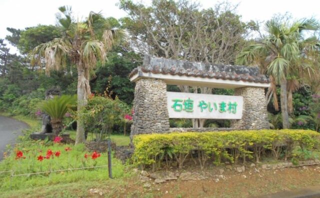
6) Yaima Village
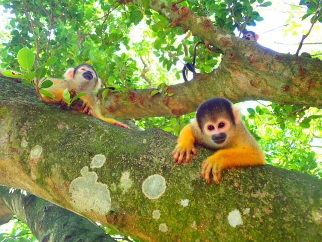
Some old houses that have been relocated are on display,Experience the traditional culture of YaeyamaTheme park.
This is a spot where visitors can experience the culture of Okinawa, including exhibits that recreate life in the old days.
It is also recommended for visitors with small children, as they can interact with cute squirrel monkeys.
Access: 20 minutes by car from the remote island terminal
Hours: 9:00 a.m. to 5:30 p.m. (reception until 5:00 p.m.)
Fee: Adults 1,200 yen / Children 600 yen
Map of the Yaeyama Islands
Frequently Asked Questions (FAQ)
summary
The Yaeyama Islands include Ishigaki Island andRemote islands rich in characterare scattered throughout the area.
By checking the location of each island on a map, it is easy to grasp the charm and distance of each island, making for a more fulfilling trip.
Whether you are a first-time visitor or a repeat visitor, please enjoy your trip to Yaeyama, where you will encounter new discoveries, by referring to this article!
↓Click here to read the article.


")