




Ishigaki Island - Maesato Dam
Early reservations are recommended as they fill up quickly.

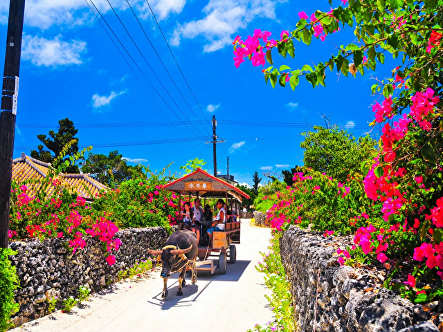
◆Tuk-tuks and electric trikes are also popular!

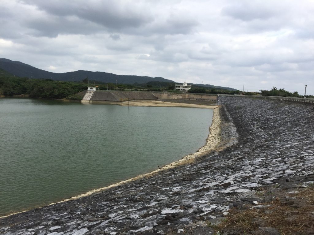
About the Maeri Dam
A dam located on the northern side of Ishigaki Island, along the route from the Yonehara area toward Sanba, passing through a long tunnel on the way to Nagura.
The Maezato Dam is located on a river flowing through central Ishigaki IslandMiyara RiverThis dam, built on the main stem of a river system for irrigation, flood control, and water supply, is Japan’s southernmost multipurpose dam.
As part of the Miyara River Land Improvement ProjectSokohara DamIt was built at the same time.
In addition to irrigation, it has a flood control capacity of 90 m³/s for a design flood discharge of 290 m³.
How to Get to Maezato Dam
Maeri Dam is located about a 20-minute drive from New Ishigaki Airport and about a 20-minute drive from the Remote Islands Terminal.
・If you're coming from New Ishigaki Airport
Leave New Ishigaki Airport and head north on Route 390.
Turn left at the T-intersection where Route 209 joins and continue straight ahead.
Turn onto Route 87, cross the Miyara River, take the first right, and turn right at the first T-intersection.
If you follow the road for a while, you'll see the Maezato Dam on your left.
・If you're coming from the Remote Islands Terminal
Exit the Remote Islands Terminal, turn right, and head north on Route 87.
When you see Ohmoto Elementary School on your right, turn left at the eighth intersection and then turn right immediately.
If you follow the road, you'll see the Maezato Dam on your left.
Things to Do at Maeri Dam
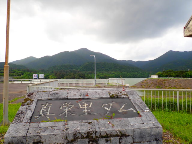
On the opposite side of the Maezato Dam,Sokohara Dam...and ahead lies the "Omoto Tunnel," which, at 1,174 meters in total length, is the longest tunnel in the Yaeyama Islands.
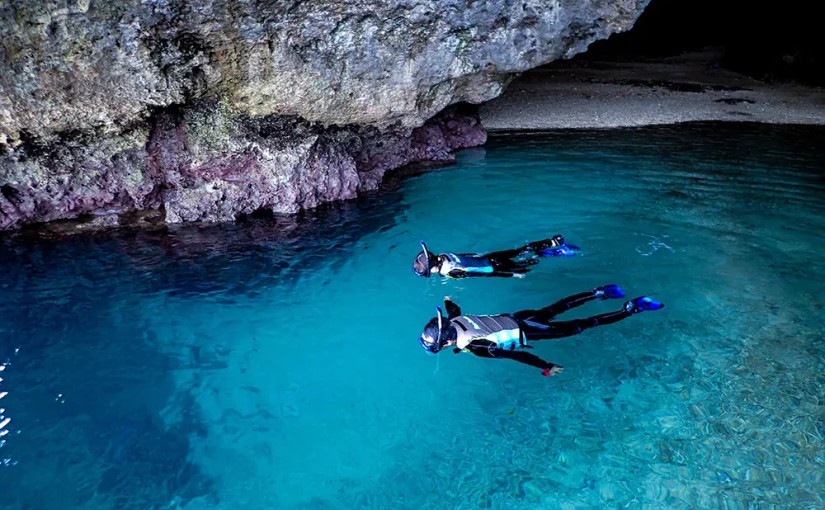
As you emerge from the tunnel,Blue Caveand ... andYaeyama palm colony in YoneharaSince there are attractions like this, we recommend visiting the Blue Grotto after seeing the two dams.
Not only at the Maezato Dam, but also at dams across the country, “dam cards” are distributed as souvenirs when you visit.
Cards are distributed at six dams along the route to Ishigaki City.
This card is a pamphlet about dams in card format, managed, produced, and distributed by the Ministry of Land, Infrastructure, Transport and Tourism and the Japan Water Resources Agency; it contains information about the dams managed by these organizations.
As part of our public relations efforts, these are distributed at the dam management office on weekdays and at the Yaeyama Peace Memorial Hall in Ishigaki City on weekends.
These cards have become so popular that 22 are distributed in Okinawa Prefecture and as many as 555 nationwide; dam enthusiasts are even traveling all over the country to collect them.
If you've made the trip all this way, why not try collecting some dam cards?
The requirements for receiving a Dam Card are listed below, so try to collect them all!
① Dam cards are distributed only to visitors to the dam, and are handed out in person at the distribution location—one card per person.
② We do not accept requests to have dam cards sent by mail or courier.
③ Dam cards will be distributed only at designated locations.
④ To receive the Oura and Ishigaki Dam Cards, you must provide proof of your visit to the dams, such as photographs (as specified in *1 and *2 below).
*1 For example, those wishing to receive a dam card must present a photo they took of the dam.
*2 Images published on the Internet may not be distributed.
・Maeri Dam Card
Maeri Dam Management Office: 0980-83-0233
Yaeyama Civil Engineering Office, Rivers, Cities, and Ports Division: 0980-82-3262
Click here for related activities
Details on the Maeri Dam
The Maezato Dam was constructed on the upper reaches of the Miyara River, a Class II river whose source is Mount Omoto—the highest peak in Okinawa Prefecture, which towers over the central part of Ishigaki Island.
The Miyara River is the largest river on Ishigaki Island. It is an area where visitors can enjoy activities such as sightseeing cruises, SUP, and canoe cruises. However, it faces problems such as causing significant damage—including flooding—during high water periods and exposing the area to water shortages during low water periods. Consequently, there is a need to revitalize flood control and irrigation and drainage projects, leading to the construction of the Maezato Dam as a multipurpose dam for irrigation, flood control, water supply.
The Earth-style multipurpose dam is the only one of its kind on Ishigaki Island and is a very valuable asset to the island.
Recommended Sightseeing Spots Near Maeri Dam
Miyara River
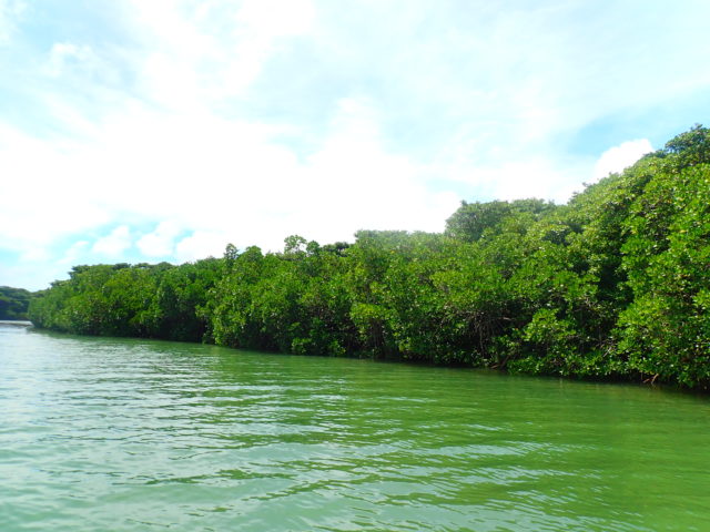
Since the Miyara River is the water source for the Maezato Dam, you can enjoy the view from the dam itself, but to visit for activities, you’ll need to go to Miyara Bridge, which spans the river near its mouth.
To head to the Miyara River from the Maezato Dam, first exit the dam, turn left, follow the road, and turn left at the T-intersection.
Head west on Route 87, then turn right at the intersection where it meets Route 209. Continue south along Route 209, pass the intersection, and follow the road for a while.
The T-intersection at the end of the road merges with Route 390, so if you turn right there, you’ll see the Miyara Bridge right in front of you.
Park your car at the Miyara Bridge parking lot and walk down the stairs to the Miyara River.
The Miyara River is the river with the largest watershed on Ishigaki Island, and it is a popular spot for river activities such as sightseeing cruises, stand-up paddleboarding, and canoeing.
The mangroves along the Miyara River grow naturally on both banks from the river mouth 1.5 km upstream, and it is said that they cover a vast area of 225 hectares—equivalent to approximately 48 Tokyo Domes.
You can experience a level of dynamism unlike any other river, so be sure to stop by.
Location: Ohama, Ishigaki City, Okinawa Prefecture
Access: 15 minutes by car from Shin-Ishigaki Airport, 15 minutes from Ishigaki Port Remote Island Terminal
Parking: Free parking: approx. 4 cars
Meals (nearby): None
Toilet: None
Soccer Park Akanma
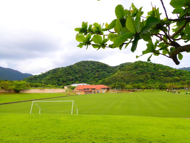
To get to Soccer Park Akanma from Maezato Dam, exit the dam, turn left, and turn right at the Y-intersection at the end of the road.
If you follow the road, you'll see Soccer Park Akanma on your left.
It takes about 4 minutes.
Soccer Park Akanma is a renowned soccer facility featuring three high-quality natural grass fields, a multifunctional clubhouse, and a full range of professional-grade amenities.
In 2002, it was also selected as a candidate site for an official World Cup soccer training camp.
FC Tokyo and Shimizu S-Pulse, among others, use it as a training camp, and famous soccer teams from both Japan and abroad visit the facility.
Although this soccer field is used for soccer classes, you can also try out other sports, such as archery and futsal.
There's also a coffee shop, so it's the perfect place to take a break.
Location: 2166-1 Miyara Yoshikido, Ishigaki City, Okinawa, Japan
Access: 10 minutes by car from Ishigaki Airport
Parking: Available
Meals (nearby): Available
Toilet: Yes
Mt. Omotodake
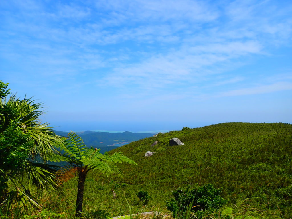
To reach Mount Omoto from Maezato Dam, exit the dam, turn right, and follow the road.
Turn left at the T-intersection at the end of the road, then turn right at the T-intersection where the road meets Route 87.
Next, turn right at the third intersection, and then turn right at the Y-intersection immediately after the turn.
If you continue straight along the road, you'll reach Mount Omoto.
Located at the highest point on the island and serving as a symbol of Ishigaki Island, it is a mountain that is deeply cherished by the islanders and is also an object of their devotion.
Although it is the highest mountain in Okinawa Prefecture, it isn’t particularly high by national standards, so it’s an easy hike.
Along the mountain trail, you can encounter flora and fauna unique to subtropical regions, and you may even spot the Ryukyu Gold Pigeon and the Crowned Eagle, both designated as Natural Monuments.
Although the mountaintop is covered in dense greenery, so you can’t see the entire island at a glance, you can enjoy a one-of-a-kind view that takes in the entire surrounding area below.
Address:Tonoshiro, Ishigaki City, Okinawa Prefecture
Access: 20 minutes by car from Shin-Ishigaki Airport, 30 minutes from Ishigaki Port Terminal
Details on the Maeri Dam
| Location | Maezato, Ishigaki City, Okinawa Prefecture (View in MAP) |
| Access | Approximately 20 minutes by car from the remote island terminal |
| parking lot | nashi (Pyrus pyrifolia, esp. var. culta) |
| toilet | nashi (Pyrus pyrifolia, esp. var. culta) |
| Business Hours | - |
If you're looking to rent a car on Ishigaki Island, click here↓
Ishigaki Island Car Rental
See all activities
Ishigaki Island Tours

























































![[Ishigaki Island / Approx. 2.5 hours] Same-day reservations accepted! SUP tour to the mystical “Blue Cave”★ A new experience in crystal-clear waters♪ Free photos](https://ishigaki-tours.com/wp-content/uploads/2017/12/DB89F99F-C338-4E76-BC19-CEC4FDDE95AC-1-825x510.jpeg)