")
20 Popular Remote Islands for Okinawa Travel! Our staff who live in Okinawa thoroughly explains the recommended remote islands!
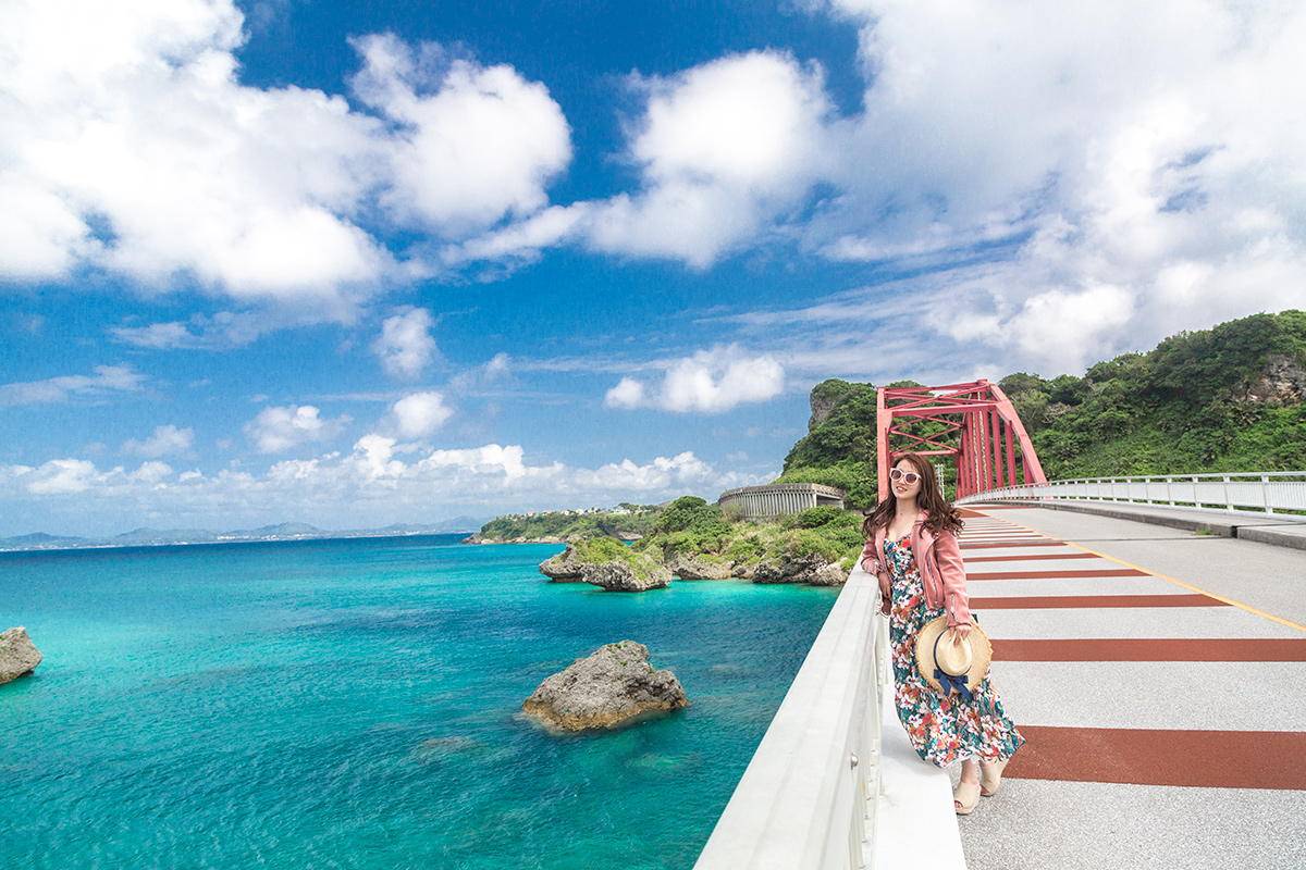
Table of Contents
- 1 What are the most popular recommended islands for remote island travel in Okinawa?
- 2 Okinawa is divided into three main areas
- 3 Remote islands in the Okinawa Islands (day trip possible)
- 4 Remote islands around Ishigaki Island (Yaeyama Islands)
- 5 Remote islands around Miyako Island (Miyako Islands)
- 6 Frequently Asked Questions (FAQ) about the islands of Okinawa
- 7 summary
What are the most popular recommended islands for remote island travel in Okinawa?
The remote islands of Okinawa have a different charm from the main island of Okinawa, and they offer visitorsNature and unique cultureThey will enjoy the
While the main island of Okinawa is a very popular tourist destination, the remote islands offer its own tranquility and extraordinary experiences.
The differences between the main island and the remote islands and their attractions are explained in detail.
◆If you want to know about the remote islands of Okinawa
◆If you want to relax on a remote island in Okinawa
◆If you are planning to go to the remote islands of Okinawa
Click here to see the ranking of popular tours in Ishigaki Island.
Okinawa is divided into three main areas

Okinawa is largely divided into the Okinawa Islands, the Yaeyama Islands, and the Miyako Islands.Three IslandsThe system is divided into the following categories.
Each has its own charm, and all are famous tourist attractions that attract many tourists!
How many remote islands are there in Okinawa?
Okinawa Prefecture includes the main island of OkinawaAbout 160 islandsexists.
Popular remote islands include Ishigaki, Miyako, and Kerama Islands, but there are also many smaller islands where visitors can enjoy unique nature and culture.
Why Okinawa Remote Islands Travel is So Popular
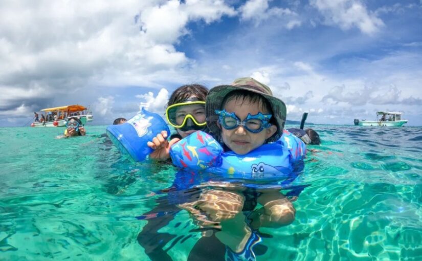
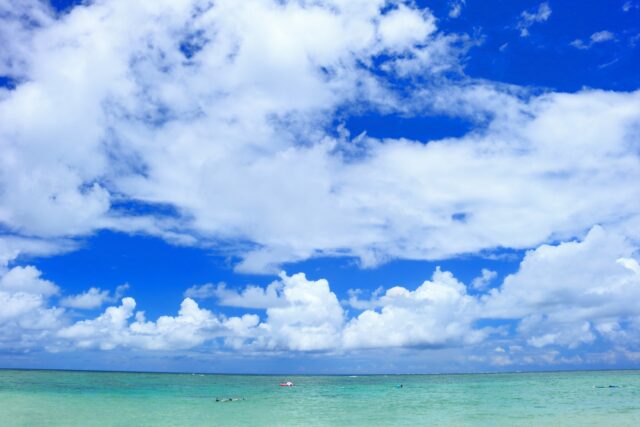
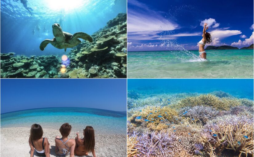
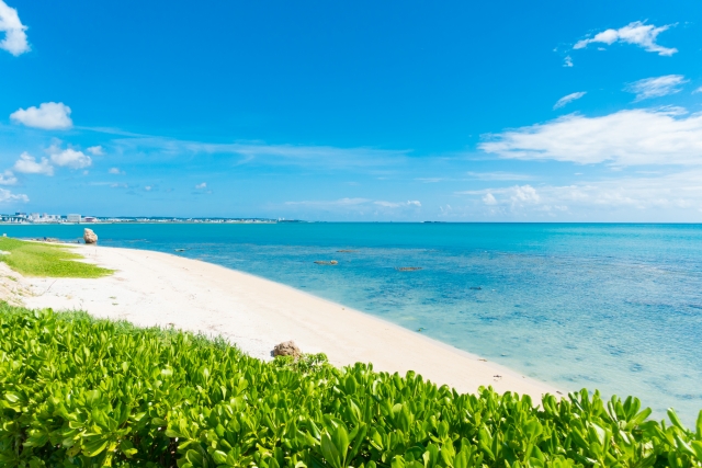
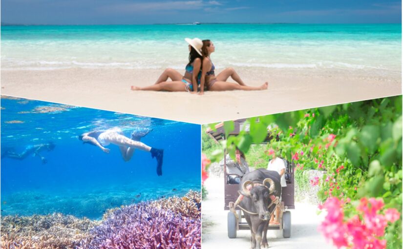
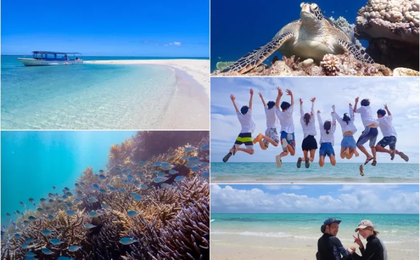
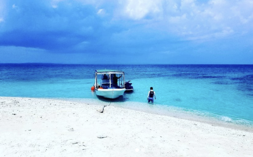
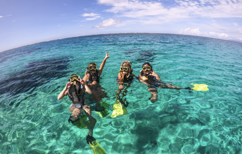
The reason for the popularity of Okinawa's remote islands is their beautiful ocean, rich nature, and quiet environment that cannot be experienced on the main island of Okinawa.
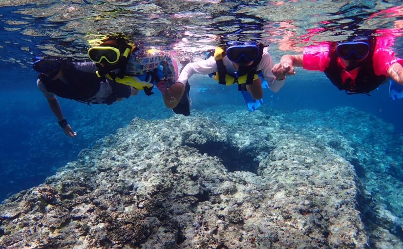
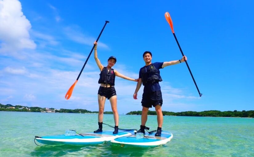
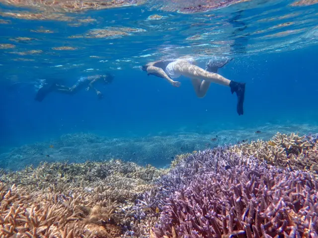
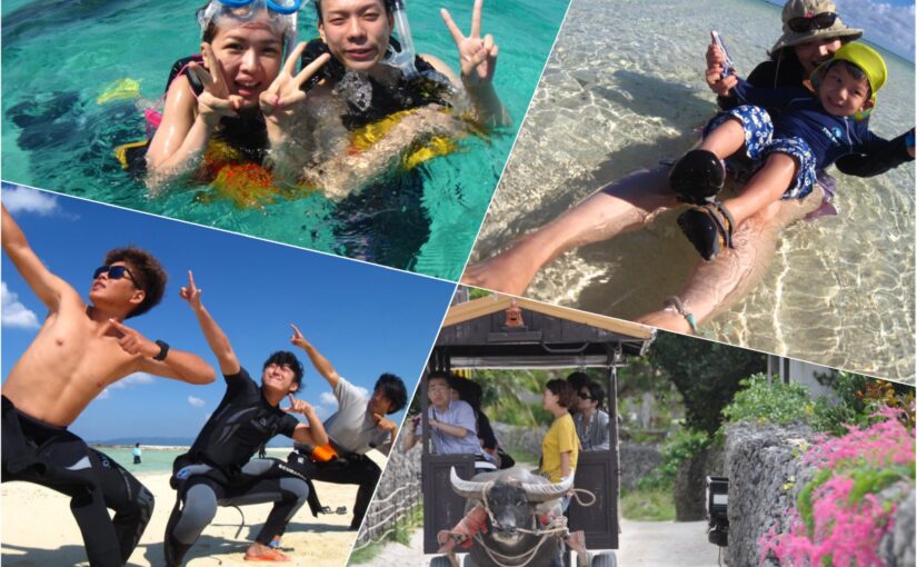
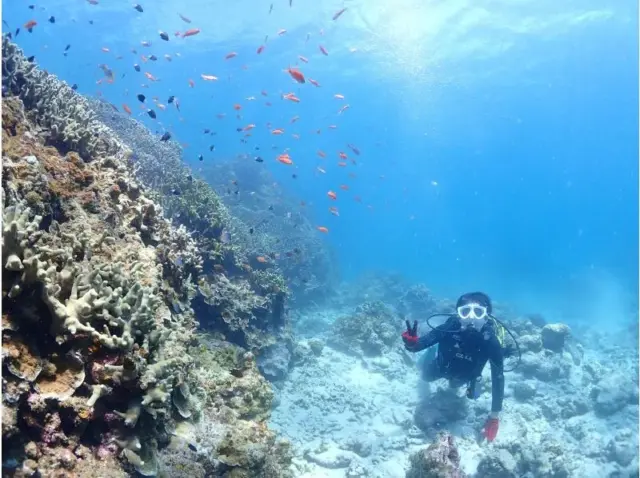
Particularly,The clarity of the sea is high.There are many great spots for snorkeling and diving!
The relatively small number of tourists and the relaxed nature of the islands also make them ideal destinations for those seeking a moment of respite from their busy lives.
Remote islands in the Okinawa Islands (day trip possible)
The remote islands are easily accessible from the main island of Okinawa,day tripAlso ideal for
Click here to see the ranking of popular tours in Okinawa
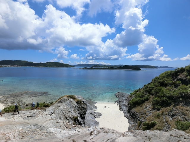
Tokashiki Island
Tokashiki Island is one of the most popular islands in the Kerama archipelago, and it takes about 35 minutes by high-speed boat (70 minutes by ferry) from Naha on the main island of Okinawa.
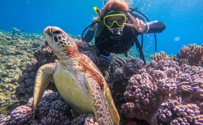
The charm of the island is its beautiful beaches and snorkeling spots where you can swim with sea turtles.
Fewer tourists,Relax in a quiet environmentThe ability to do so is also a major attraction.
Access: Approx. 35 min. by high-speed boat/70 min. by ferry from Naha Tomari Port
Click here for the popular tour ranking of Tokashiki Island
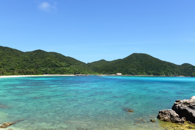
Zamami Island
Zamami Island also belongs to the Kerama Islands and is about 50 minutes from Naha by high-speed boat (120 minutes by ferry).
Zamami Island is,Sea is very clearand is dotted with many beautiful beaches and snorkeling spots!
It is also known as a diving spot and can be enjoyed by beginners and advanced divers alike.
Access: 50 minutes by high-speed boat/120 minutes by ferry from Naha Tomari Port
Click here to see the ranking of popular tours in Zamami Island.
Aka Island
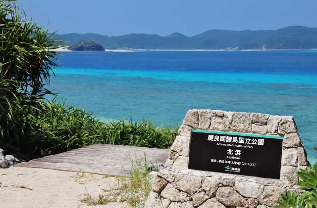
Aka Island is a small island about 15 minutes further by ferry from Zamami Island.
Attractive quiet environmentRecommended for those who want to relax in â
Access: 50 minutes by high-speed boat/120 minutes by ferry from Naha Tomari Port
Click here to see the popular tour ranking of Aka Island
Kyuko-jima (island)
Kutakashima Island is located approximately 20 minutes from Ajama Port on the main island of Okinawa,Sacred Sites in OkinawaIt is also known as
The island is a harmony of nature and history, and is a popular tourist destination♪
Access: 15 minutes by high-speed boat/25 minutes by ferry from Ajama Port
Click here to see the ranking of popular tours to Kutakashima
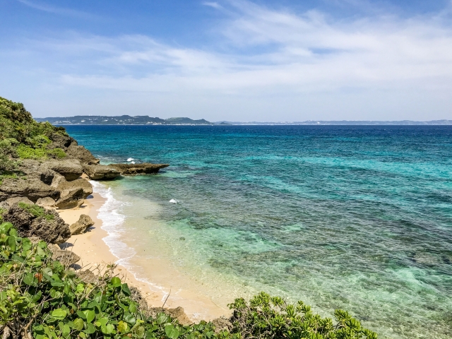
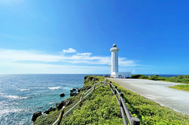
Ie Island (esp. Ihe Island)
Iejima Island is located in the northern part of Okinawa's main island and can be reached by ferry from Motobu Port in about 30 minutes.
As a tourist attraction,Beautiful beachesand the symbol of Iejima, the Iejima Touchoo.
Access: 30 minutes by ferry from Motobu Port
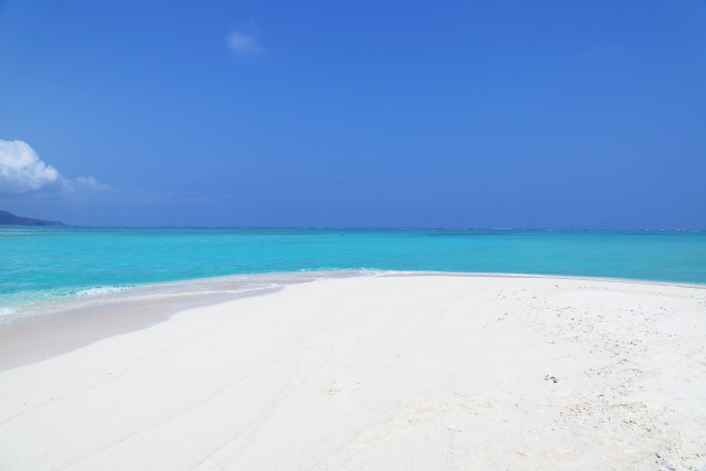
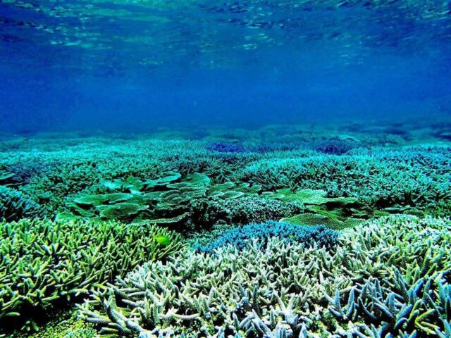
Kume Island
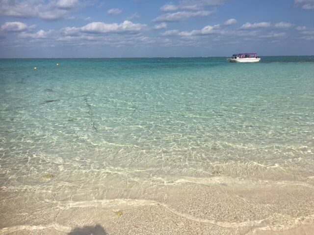
Kumejima Island is about a 30-minute flight from the main island of Okinawa, and offers a wealth of snorkeling and diving spots!
The most beautiful in the OrientThe clarity of the sea is very high, and beautiful coastlines, such as Hate-no-hama beach, can be seen.
Access: 30 minutes by plane from Naha Airport
Click here to see the ranking of popular tours in Kume Island.
Japan

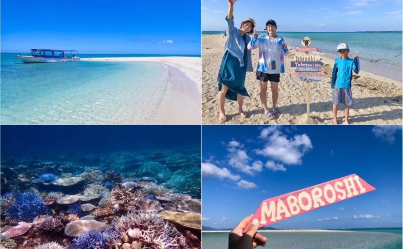
Only 15 minutes by boat from the northern harbor of the main island! It is popular as a remote island that can be easily reached by day trip!
When you look at the island from the sky, it is shaped like a crescent moon.Croissant IslandIt is also called
Access: 15 minutes by high-speed boat from Watakuchi Port
Click here to see the ranking of popular tours to Mizuna Island.
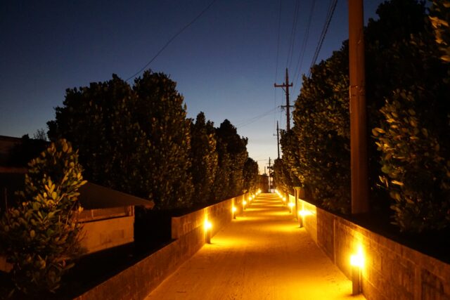
Setagashima Island
Senaga Island is about a 10-minute drive from Naha Airport,Very accessible remote islandsOh my god!!!
Recently, the area has become popular among tourists for its tourist attractions and resort facilities, including hot springs, beautiful beaches, and restaurants.
Access: 10 minutes by car from Naha Airport
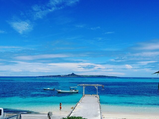
Kouri Island
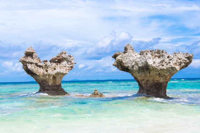
Kouri Island is located in the northern part of Okinawa's main island, about 30 minutes by car from Nago City.
Accessible via the Kouri Ohashi Bridge, the island has beautiful beaches with crystal clear waters.
Also,Spectacular view from Kouri Ocean Toweris a famous tourist attraction.
Access: Approximately 90 minutes by car from Naha Airport
Click here to see the ranking of popular tours to Kouri Island.
Watanaki Island
Watanaki Island is about a two-hour ferry ride from the main island of Okinawa.
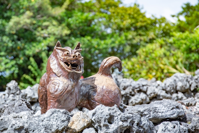
Also, the island of Tonaki isThe island retains a strong traditional Okinawan culture.The island is also home to old houses and traditional architecture.
It is the perfect place for those who want to experience a different side of Okinawa, as they can enjoy both nature and culture.
Access: 120 minutes by ferry from Naha Tomari Port
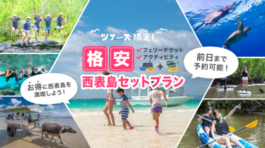
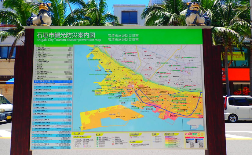
Remote islands around Ishigaki Island (Yaeyama Islands)
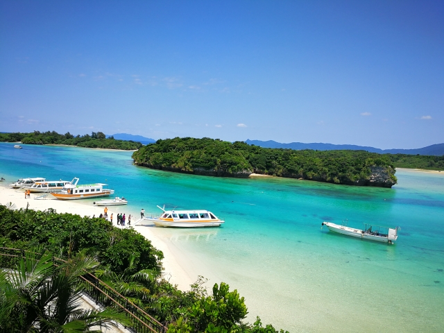
The Yaeyama Islands are a popular group of remote islands that can be visited from Ishigaki Island.
Beautiful sea and abundant natureand is a great place for snorkeling and diving.
Click here to see the ranking of popular tours in Ishigaki Island.
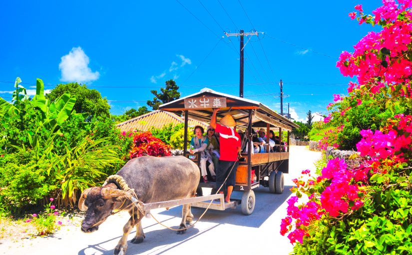
Taketomi
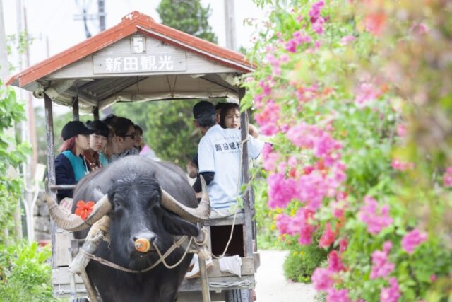
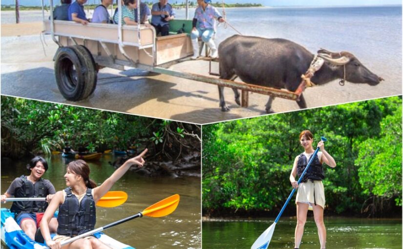
Taketomi Island is about 15 minutes by ferry from Ishigaki Island.
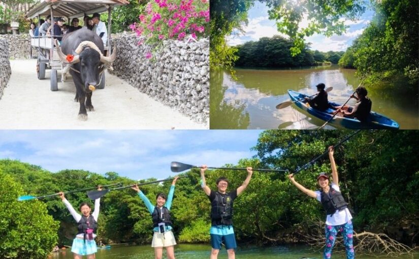
Tour the island by bicycle or buffalo cartYou can enjoy beautiful beaches and scenery while
Access: 15 minutes by ferry from Ishigakijima Island Terminal
Click here ▼ for recommended tours of Taketomi Island
Click here for the popular tour ranking of Taketomi Island
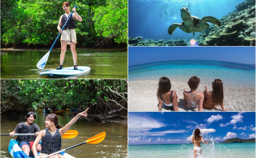
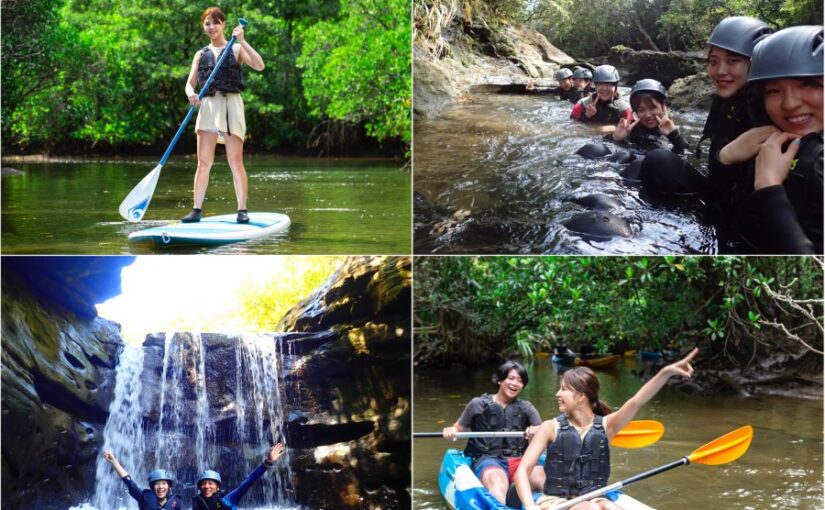
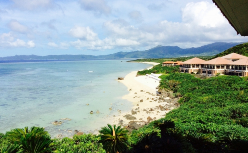
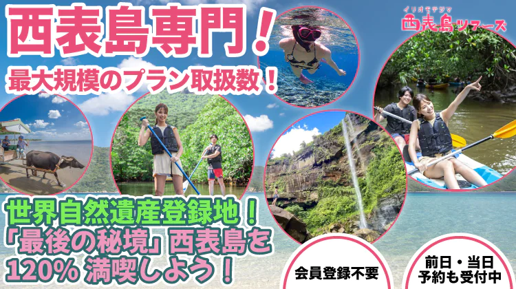
Iriomote
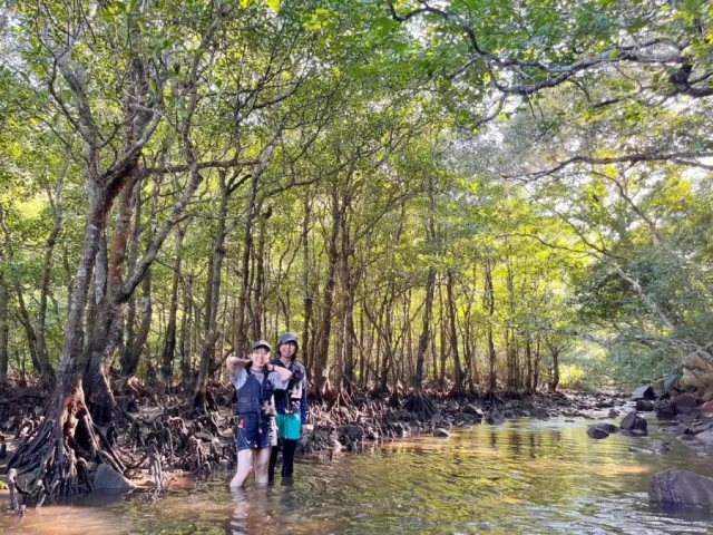
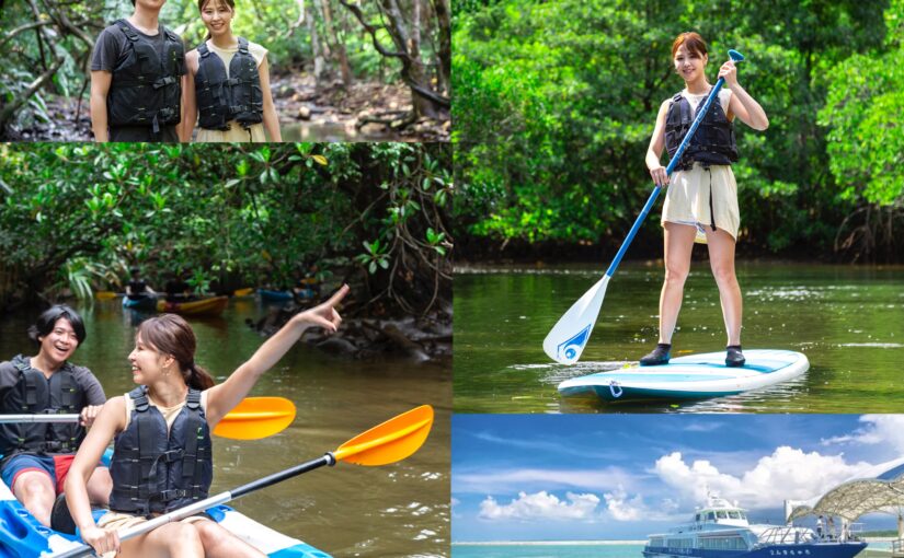
Iriomote Island is one of the Yaeyama Islands.Largest islandand abundant nature.
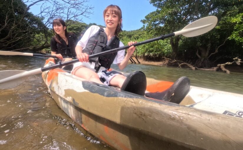
â- Exploring the jungle and mangroves, canoeing, trekking, and other activities.
Access: 40~60 minutes by high-speed boat from Ishigakijima Island Terminal (Uehara Port)
Click here ▼ for recommended tours in Iriomote Island
Click here to see the ranking of popular tours in Iriomote Island.
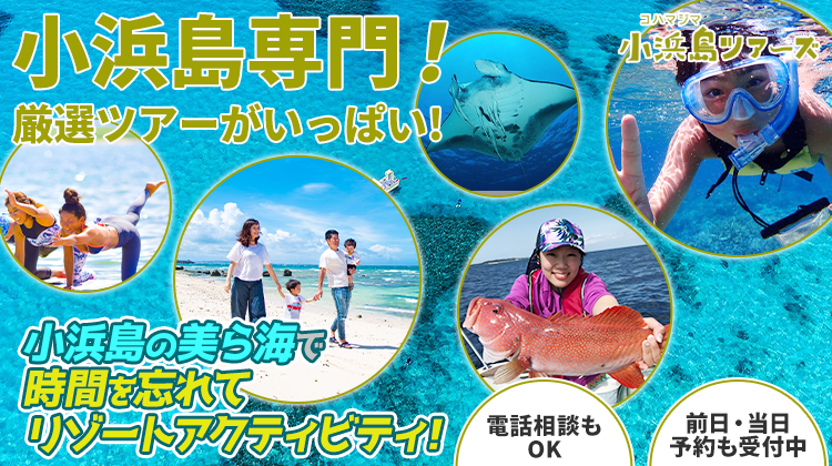
Kohama
Kohama Island is about 30 minutes by ferry from Ishigaki Island.
It is a small island with beautiful beaches andlaid-back atmosphereis the charm♪
Access: 30 minutes by ferry from Ishigakijima Island Terminal
Click here ▼ for recommended tours of Kohama Island
Click here to see the ranking of popular tours in Kohama Island.
Kurushima
Kuroshima is a peaceful island about 30 minutes by ferry from Ishigaki Island.
There are more cows than population.It is a very peaceful island full of nature.
Access: 30 minutes by ferry from Ishigakijima Island Terminal
Click here for recommended tours of Kuroshima ▼
Click here to see the ranking of popular tours to Kuroshima.
Hateruma Island

Hateruma Island is the southernmost island of the Yaeyama Islands.Approx. 100 min.It is.
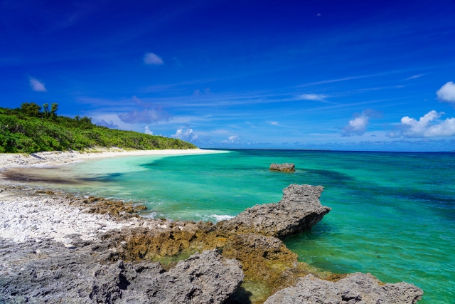
The island's charm is its crystal clear waters and white sandy beaches!
Also, the starry sky is very beautiful at night,Spots where you can see the Milky WayIt is also known as
Access: 100 min. by high-speed boat from Ishigakijima Island Terminal
Click here for recommended tours in Hateruma Island ▼
Click here to see the ranking of popular tours in Hateruma Island.
Yonaguni Island
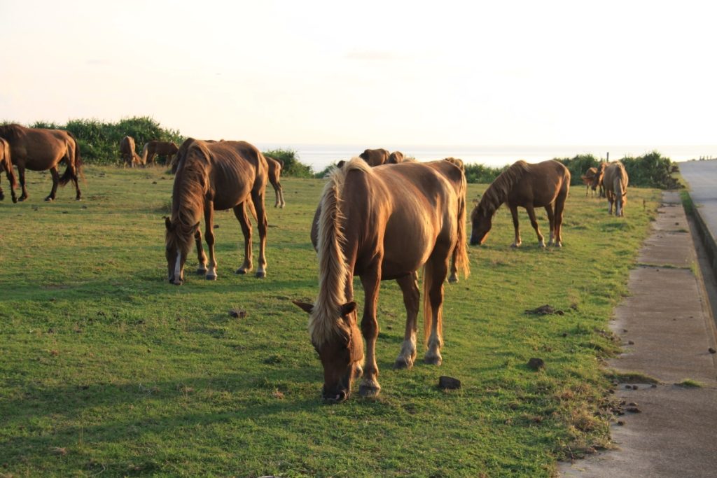
Yonaguni Island is,The furthest remote island from the main island of Okinawaand has underwater ruins and other historical attractions.
It is also very famous as a diving spot and boasts some of the clearest waters in the world.
Access: 30 minutes by plane from Ishigakijima Airport
Click here for the popular tour ranking of Yonaguni Island
Remote islands around Miyako Island (Miyako Islands)
The outlying islands around Miyakojima are easily accessible from Miyakojima!
There are beautiful beaches and places for snorkeling scattered throughout the area,Relaxing in the calm seaYou can spend time with
Click here to see the ranking of popular tours in Miyako Island.
Irabu Island (port island)
Irabu Island is located on Miyako Island, which isAn island that can be crossed by carand is dotted with beautiful beaches and spectacular scenery!
The view from the "Irabu Bridge" is especially popular as a spot worth visiting.
Access: 20 minutes by car from Miyako Airport
Shimochijima Island
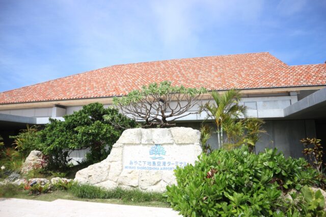
Shimoji Island is located next to Miyako Island and is rich in beaches and nature.
There are also excellent snorkeling and diving spots for tourists.Quiet and calm timeThey provide a
Access: 25 minutes by car from Miyako Airport
Ikema Island
Ikema Island is located on Miyako Island andAn island that can be reached by car over a bridge.and offers beautiful sandy beaches and crystal clear waters.
It is also popular as a resort and offers activities such as snorkeling and kayaking.
Access: 30 minutes by car from Miyako Airport
Kurima Island

Kushima is a remote island accessible by car from Miyako Island, with beautiful beaches and coral reefs.
Quiet environmentPerfect for those who want to relax.Spot.
Access: 15 minutes by car from Miyako Airport
Frequently Asked Questions (FAQ) about the islands of Okinawa
summary
The remote islands of Okinawa are,Each island has its own unique charm and natural beautyAnd, no matter how many times you visit, you will find something new.
In addition to sightseeing on the main island of Okinawa, please enjoy a tour of the outlying islands for a unique Okinawan experience.
Click here▼ to read the article you want to read with us.


")