")
Ishigaki Island - Kala-dake
Early reservations are recommended as they fill up quickly.

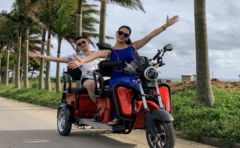
◆Tuk-tuks and electric trikes are also popular!
What Is Mount Kara?
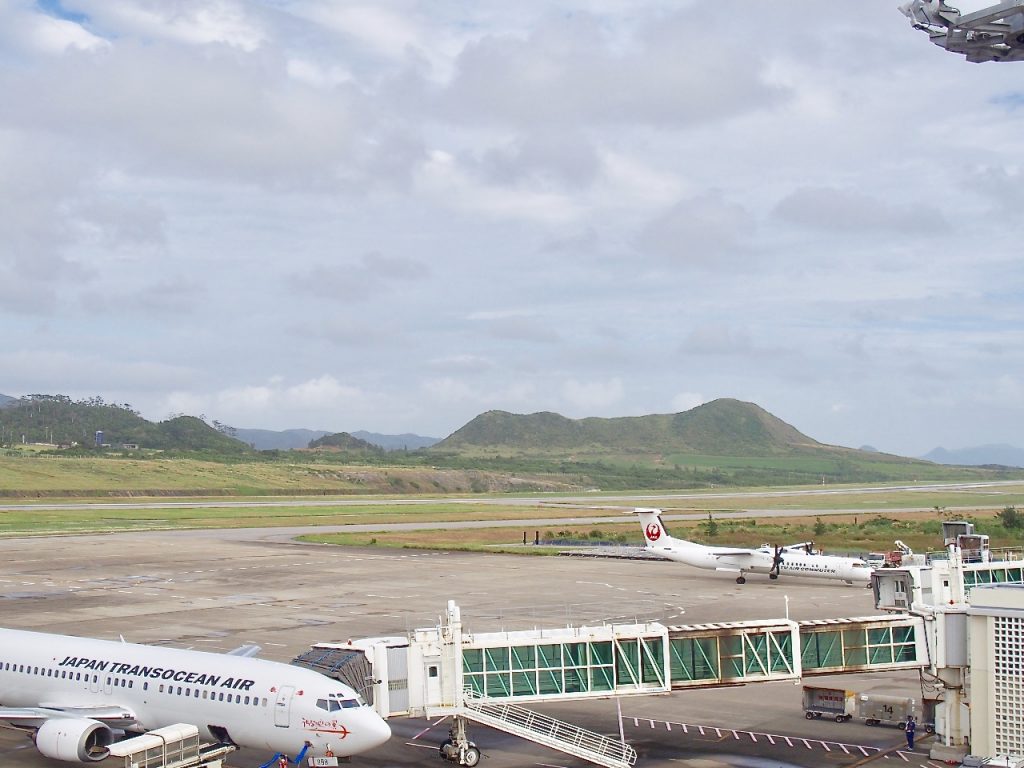
New Ishigaki AirportA small hill located right nearby.
From the mountaintop, you can enjoy a panoramic view of the airport and the airplanes crisscrossing the sky.
The contrast with the Shiraho Sea stretching out beyond the airport is truly a breathtaking sight!
There are almost no trees on this mountain, which is covered in thick undergrowth, and the hike to the summit takes about 15 minutes one way.
You don't have to climb to the summit; you can see the mountain from the observation deck at New Ishigaki Airport as well.
How to Get to Mount Kara
Mount Kara is located about a 5-minute drive away.
Since Mount Kara is located right next to New Ishigaki Airport, you can see it from the airport.
Leave New Ishigaki Airport, head north on National Route 390, and turn right onto a gravel road.
Drive straight for about 5 minutes along the gravel road until you see an old shed on your left; park at the end of the road just past it.
There's a mountain right in front of you—it's only about 135.9 meters high and covered in short grass, so it's easy to climb to the top.
How to Have Fun at Mount Kara
Mt. Kara, with an elevation of approximately 136 meters.
It is famous as a paragliding spot because the wind from the ocean tends to create updrafts.
It's also famous as a photo spot because it's close to the airport.
You can take photos of the ocean and airplanes.
Related columns are here↓.
Mt. Kala Details
Mt. Kara is a small mountain with an elevation of 135.9 meters that rises not far from New Ishigaki Airport.
It’s a small mountain that you can climb in about 15 minutes, and since there’s no tall grass growing on it, the entire slope is covered in grass.
Because it is located near the airport, you can see planes taking off and landing from the mountaintop, and to the east, you can enjoy a view of the emerald-green sea with exceptional clarity.
Since there are absolutely no trees on this mountain, you can enjoy a 360-degree panoramic view; however, with no shade, you’ll be exposed to direct sunlight, which could lead to heatstroke or sunburn.
Let's make sure we're fully prepared.
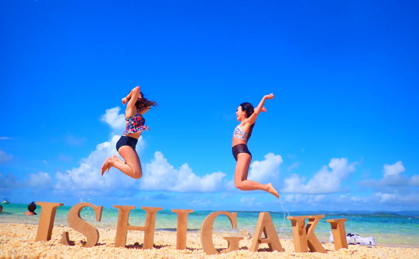
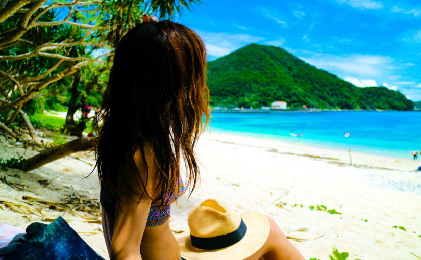
Across from the airport is Shiraho Beach, famous for its blue coral, making it a popular photo spot as well.
Since there are no trees to act as a windbreak, the wind is very strong, so be careful not to let your hat or other items blow away.
Mount Kara is also known as a great spot for paragliding because the sea breeze creates updrafts.
Since this is one of the few paragliding spots, please be sure to give it a try.
Recommended Sightseeing Spots Near Mount Kara
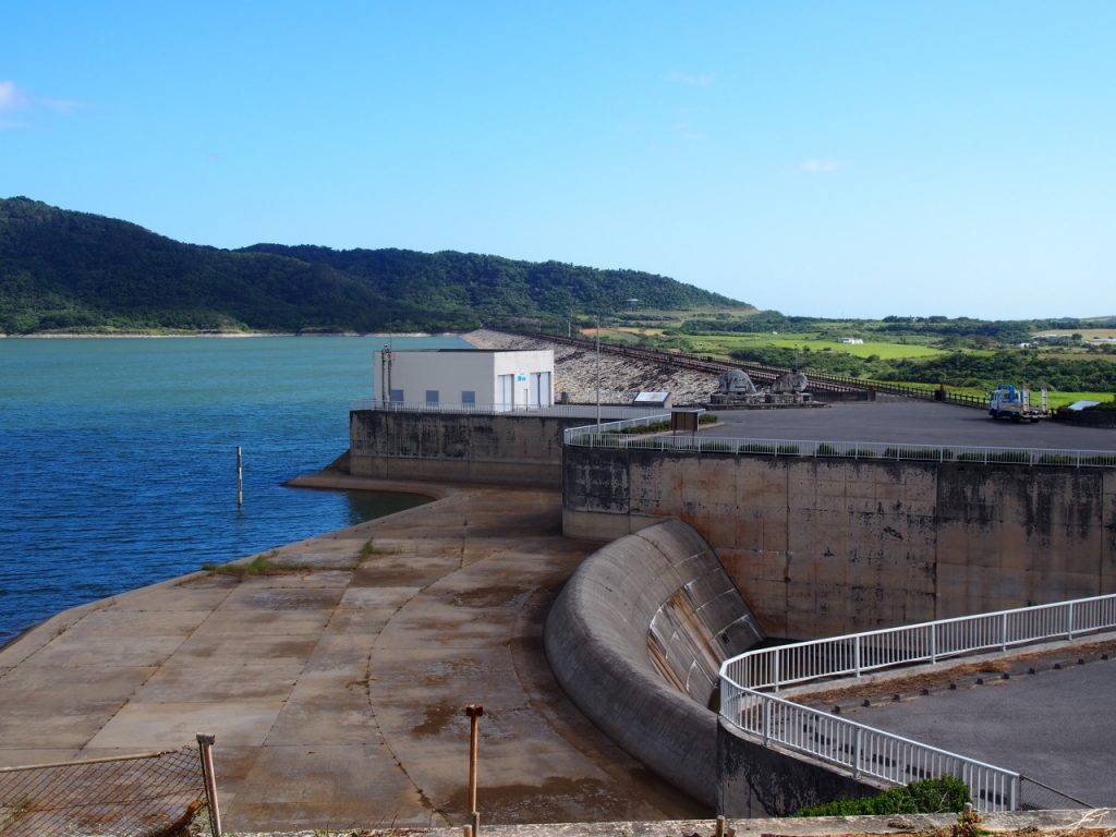
Sokohara Dam
To reach Sokohara Dam from Mt. Kara, leave Mt. Kara, head north on Route 390, and turn left onto Route 209.
Continue along the road for a while, then turn right at the intersection where it meets Route 87.
If you continue straight ahead, it will appear on your right, so turn right to get there.
The Sokohara Dam is located on the Sokohara River—a tributary of the Miyara River system that flows through the center of Ishigaki Island. With a dam height of 29.5 meters, a crest length of 1,331 meters, and a crest width of 8.0 meters, it is the largest dam on Ishigaki Island.
It is known as the longest horizontal rock-fill dam in Japan built for irrigation purposes.
There is a walking trail around the Sokohara Dam Reservoir, where you can take a leisurely stroll while enjoying the natural scenery.
Next to Sokohara Dam is the Omoto Tunnel, which, at 1,174 meters in total length, is the longest in the Yaeyama Islands.
Once you emerge from the tunnel, you'll find the Blue Cave and the Yaeyama palm grove in Maibara, so you can enjoy sightseeing and various activities.
Location: Miyara, Ishigaki City, Okinawa Prefecture
Directions: About a 20-minute drive from the Remote Islands Terminal; about a 10-minute drive from New Ishigaki Airport
Parking: None
Meals (nearby): None
Toilet: None
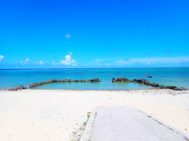
Shiraho Coast
To reach Shiraho Beach from Mt. Kara, head south on Route 390 after leaving Mt. Kara.
Continue along the road, and when you see a restaurant called “Gushuan” on your left, turn left at the second T-intersection.
Turn left at the end of the road to reach Shiraho Beach.
Shiraho Beach is a long, natural beach with white sand and is home to some of the island’s finest coral and tropical fish.
Its most distinctive feature is a large colony of blue coral, a rare species; this colony is said to be the largest in the Northern Hemisphere.
Many people come here to snorkel or dive specifically to see the blue coral.
In addition to blue coral, there are over 70 species of coral—including thin-branched coral, beach coral, and green stony coral—so you can enjoy exploring the seabed even in shallow waters.
Location: Shiraho, Ishigaki City, Okinawa Prefecture
Access: 5 minutes by car from Ishigaki Airport
Parking: -
Meals (nearby): None
Toilet: No
Inoda Fishing Port
To reach Inoda Fishing Port from Mt. Kara, head out of Mt. Kara and drive north on Route 390.
Continue along the road for a while, and when you see Omine Shoten on your left, turn right at the second T-intersection.
Turn right at the end of the road to reach Inoda Fishing Port.
Since Inoda Fishing Port is a fishing port, there aren't many tourists, but it's actually a spot I highly recommend.
Since it's located on the east coast, you can enjoy beautiful sunrises in the early morning and go fishing.
In addition, glass-bottom boat cruises are available from this fishing port, so you can observe marine life without even getting in the water.
Even children and seniors who can't join the tour can still have a great time!
Address: Momori, Ishigaki City, Okinawa Prefecture
Directions: A 40-minute drive from downtown Ishigaki City.
Parking: Available
Mt. Kala Details
| Location | Mt. Kara, Shiraho, Ishigaki City, Okinawa Prefecture (View in MAP) |
| Access | Just a short distance from Ishigaki Airport |
| parking lot | ant |
| toilet | nashi (Pyrus pyrifolia, esp. var. culta) |
| Business Hours | - |
If you're looking to rent a car on Ishigaki Island, click here↓
Ishigaki Island Car Rental
See all activities
Ishigaki Island Tours


")