



Ishigaki Island - Nagura Dam -
Early reservations are recommended as they fill up quickly.

◆Tuk-tuks and electric trikes are also popular!

About the Nazura Dam
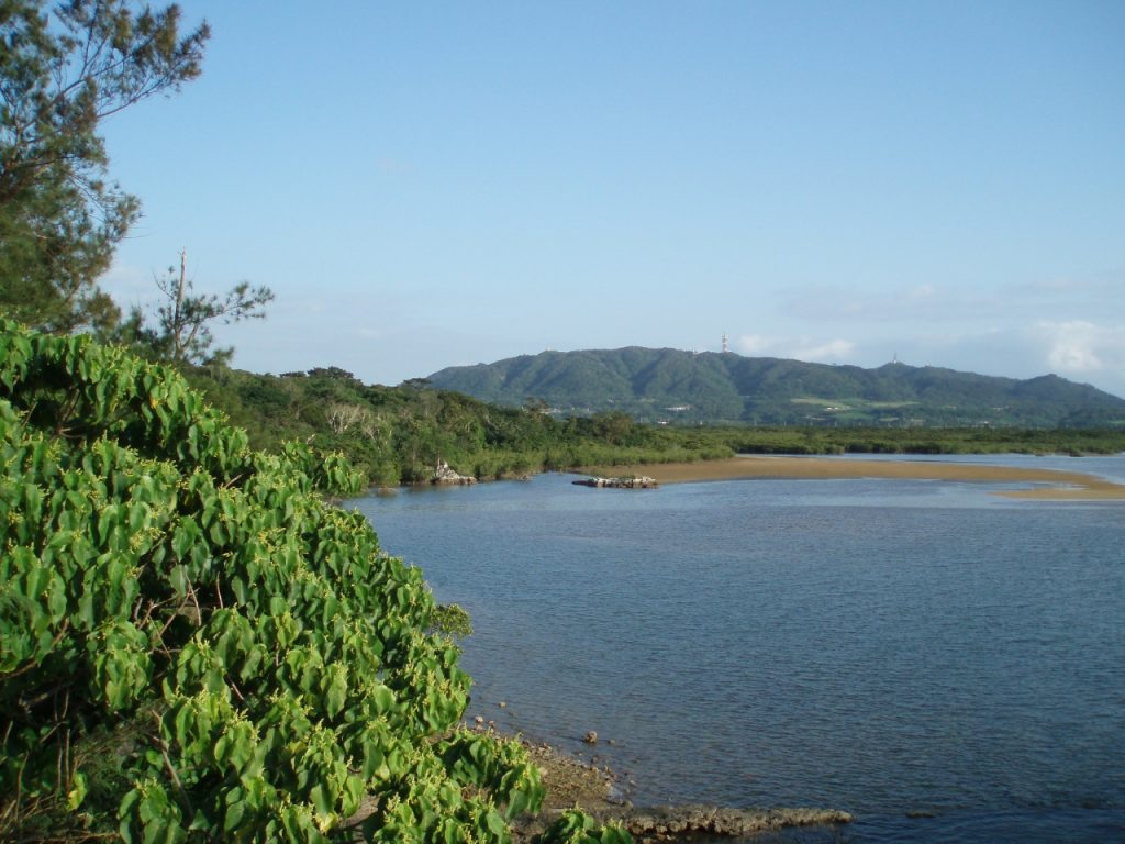
Nagura BayLocated upstream along the river, this dam is the second largest on Ishigaki Island after the Sokohara Dam. It is situated south of Mount Omoto.
Since there’s a National Astronomical Observatory facility called “VERA” nearby, I recommend visiting it along with the observatory by rental car.
Although there are no large parks near the dam, there are observation decks and walking trails where you can relax. There’s also the Omoto Shrine, and nearby you’ll find a small stream and a waterfall. It’s newer and more modern than the Sokohara Dam, and you can enjoy the expansive views!
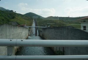
A rock-fill dam built in 1998. Every July, the “Ishigaki Island Dam Festival” is held, drawing crowds of families and tourists.
On sunny days, the water’s surface reflects the light and looks absolutely beautiful. Since it’s located near Nagura Bay, it’s a great place to visit during any free time you have before or after participating in activities at Nagura Bay.

The Nagura Dam is the second-largest dam on Ishigaki Island, located upstream along the Nagura River, which flows into Nagura Bay.
It is located south of Mount Omoto, the highest peak in Okinawa Prefecture, so visitors can enjoy hiking there as well. As the highest point on Ishigaki Island, it has long been regarded as a symbol of the island and a place of worship. That said, although it is the highest mountain in Okinawa Prefecture, its elevation isn’t particularly high, making it a popular spot for casual hikes.
Mount Omoto, which has been designated as a national park, is a spot where you can encounter the Ryukyu Gold Pigeon and the Crested Hawk-Eagle—both designated as National Natural Monuments—so it’s definitely a place you’ll want to visit along with the Nagura Dam.
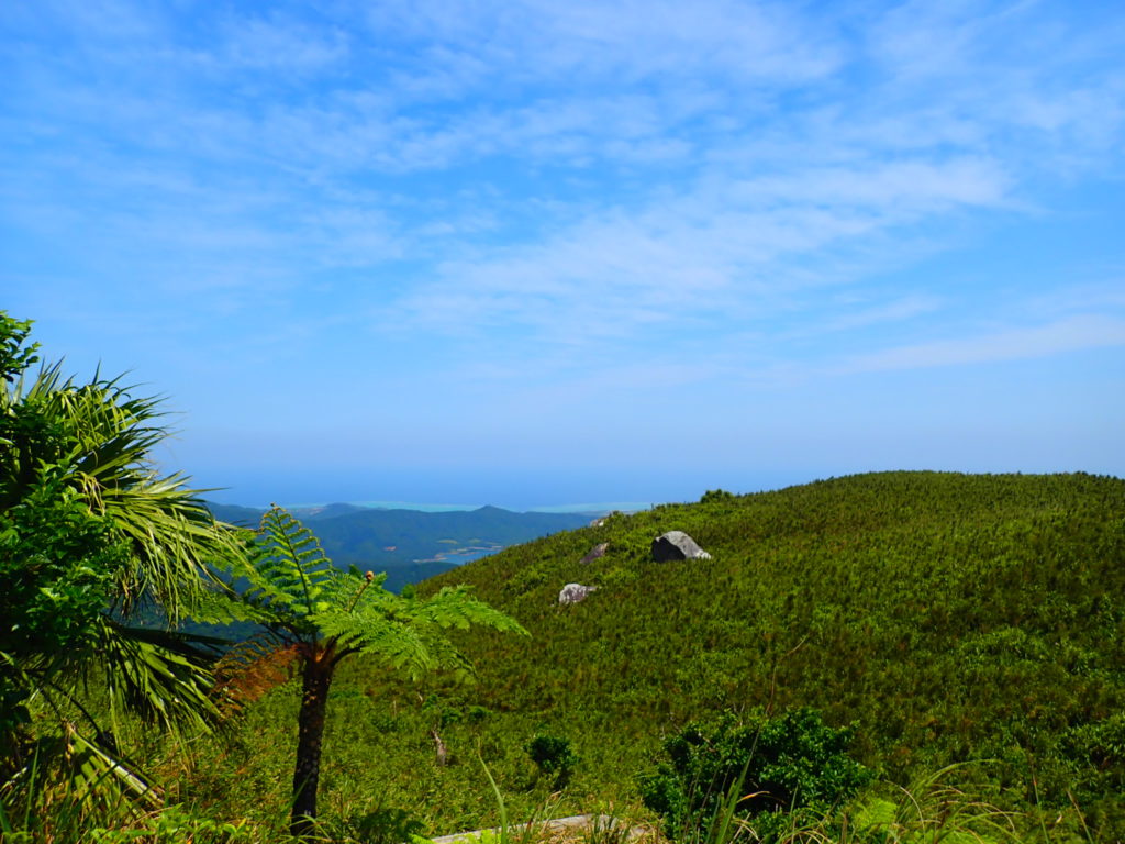
Ishigaki Island experienced a severe drought in 1971, and droughts occurred frequently over a long period. The Nagura Dam was built to address the problem of the long-standing droughts.
Ishigaki Island has an annual rainfall of over 2,000 mm, making it one of the rainiest places in Japan; however, since most of that rainfall occurs during the rainy season and typhoon season, it rains less frequently during other times of the year. With the exception of a few rice paddies, there were no irrigation facilities, so droughts occurred every year.
Through cooperation between the local government and residents, the Nagura Dam was constructed as part of the Hometown Rural Revitalization Fund Project.

As its name suggests, the Nagura Dam was built upstream in the Nagura River watershed, where it serves to store water for irrigation and prevent it from flowing directly into the sea. The construction of the Nagura Dam has benefited people in many ways, providing water for drinking and for growing crops.
In the area surrounding Nagura Dam, there is a wooden observation deck offering a view of the wooden Nagura Dam itself, as well as spots where you can take in a panoramic view of the reservoir. There is also a walking trail, so you can enjoy a leisurely stroll.
In July, the Ishigaki Island Dam Festival is held to promote agriculture and foster community interaction. The festival makes use of the dam and its surrounding facilities, allowing visitors to enjoy the views from the dam while also serving as a public awareness campaign about its flood control functions.
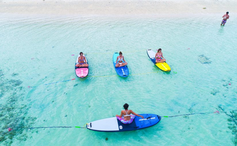
Here are some recommended tours to enjoy in Nagura Bay ↓



Directions to Nagura Dam
Nazura Dam is located about a 25-minute drive from the Remote Islands Terminal and about a 25-minute drive from New Ishigaki Airport. It is accessible by both car and bus, as described below.
If you're coming by car
Leave New Ishigaki Airport and head north on Route 390, then turn left at the T-intersection where it connects with Route 211. Continue straight along the road toward the west, and when you see Mr. Okada’s farm on your left, turn right at the next four-way intersection. Continue straight until you reach the end of the road, and you’ll arrive at Nagura Dam.
If you’re coming from the Ishigaki Island Remote Islands Terminal, exit the terminal and head north on Route 87. When you see Mariya Omata Ranch on your right, continue a short distance until you reach a three-way intersection, then turn left onto Route 211. Continue westward, and when you see Mr. Okada’s farm on your left, turn right at the next four-way intersection. Continue straight until you reach the end of the road, and you’ll arrive at Nagura Dam.
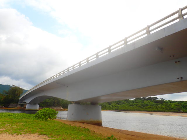
If you're traveling by bus
From the bus terminal, take the Higashi Unyu Bus on the Yoshihara Line and get off at the "Takada" bus stop. From Takada, hike up Mount Omoto toward Nagura Dam.
The trip takes about 1 hour and 30 minutes. Since the walk takes nearly an hour, we recommend driving there.
Details on the Nagura Dam
| Location | Aza Tonojo, Ishigaki City, Okinawa Prefecture (Map(See in.) |
| Access | About a 25-minute drive from the Remote Islands Terminal |
| parking lot | ant |
| toilet | nashi (Pyrus pyrifolia, esp. var. culta) |
| Business Hours | - |
Recommended Sightseeing Spots Around Nagura Dam
Bangna Park
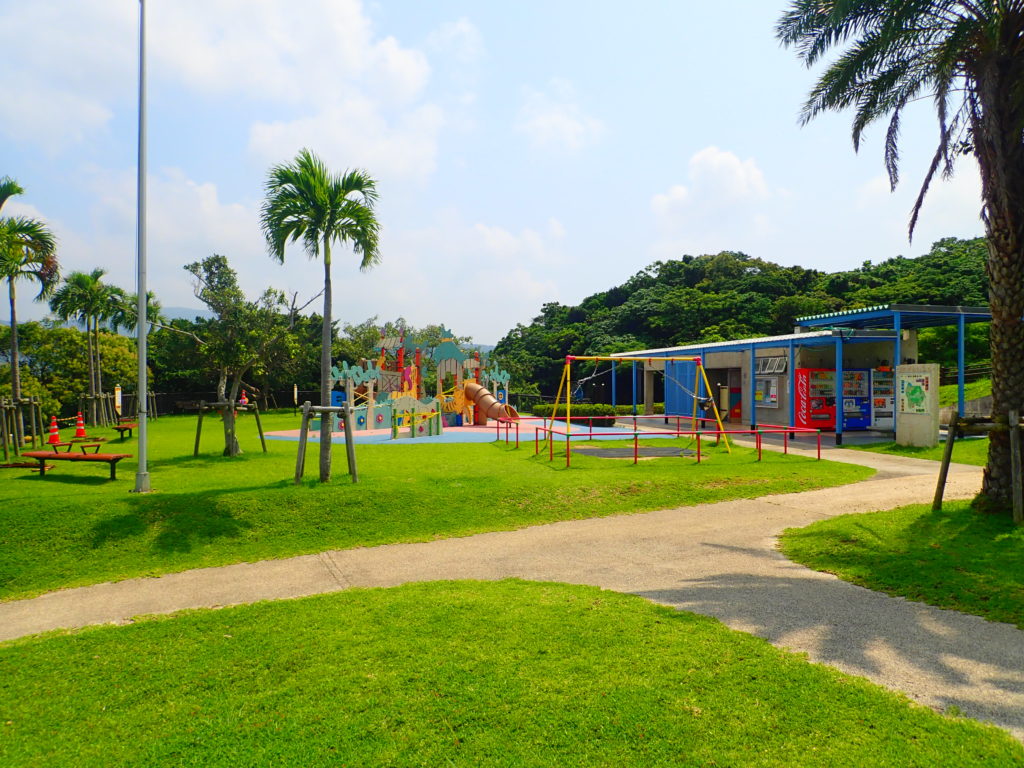
To get to Banna Park from Nagura Dam, exit the dam and head south on Route 211, following the road for a while. Turn right at the end of the road, and you’ll see the entrance to Zone C on your right—you’ve arrived. The drive takes about 8 minutes.
Banna Park is a prefectural nature park that stretches 8 km around Mount Banna, which stands at an elevation of approximately 230 meters; its vast grounds are divided into Zones A through E.
Zone A is the area immediately inside the South Entrance, where you'll find the General Information Desk and other facilities.
Zone B is a scenic area where you can enjoy the Emerald Sea from the observation deck, as well as birdwatching, sunsets, and stargazing. It’s also very convenient, with a parking lot and a bus stop.
Zone C is home to the World Insect Museum and the Botanical Garden, and it also serves as the starting point for the Segway tour.
Zone D is rich in natural beauty and home to subtropical flora and fauna; in the spring, you can even see the Yaeyama firefly.
Zone E features many playground equipment and adventure courses, making it a popular spot for families.
Banna Park is a popular spot where you can spot the Crested Hawk-Eagle—designated as a National Natural Monument—and nocturnal coconut crabs, so be sure to check it out.
| Location | 961-15 Ishigaki City, Okinawa Prefecture (Map(See in.) |
| Access | Approximately 15 minutes by car from Ishigaki Port Terminal |
| parking lot | ant |
| toilet | ant |
| Business Hours | - |
Miyara River
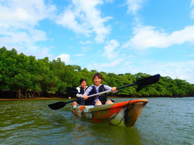
To reach the Miyara River from Nagura Dam, leave the dam and head south on Route 211. Continue south on Route 87, turn left at the intersection, go straight, and then turn left onto Route 209.
Turn right immediately after crossing the Miyara River, follow the road, and turn right at the first T-intersection. Then, turn right at the next T-intersection and continue straight ahead to reach your destination.
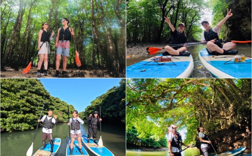
The Miyara River is the river with the largest watershed on Ishigaki Island. It is a mangrove river where mangrove forests—designated as a Natural Monument—thrive on both banks for 1.5 km upstream from the mouth. The mangroves cover a vast area of 225 hectares, equivalent to approximately 48 Tokyo Domes.
You can enjoy the sights while cruising by canoe, SUP, or sightseeing boat, so be sure to stop by sometime.
| Location | Ohama, Ishigaki City, Okinawa Prefecture (Map(See in.) |
| Access | Approximately 15 minutes by car from Shin-Ishigaki Airport Approximately 15 minutes from Ishigaki Port Terminal |
| parking lot | Available (Free parking: approx. 4 cars) |
| toilet | nashi (Pyrus pyrifolia, esp. var. culta) |
| Business Hours | - |
Here are some recommended tours you can enjoy on the Miyara River ↓
![[Ishigaki Island / Half-Day] Same-Day Reservations Accepted! Ishigaki Island’s Longest ☆ Nationally Designated Natural Monument “Miyara River” Mangrove Canoe Tour ★ Free Photos & Transportation Included](https://ishigaki-tours.com/wp-content/uploads/2024/01/IMG_0195-825x510.jpg)
Maesato Dam
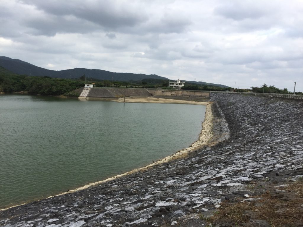
To get to Maezato Dam from Nagura Dam, leave Nagura Dam and head south.
Follow the road, turn left at the end, and head east on Route 211. When you see Ohho Seisakusho Co., Ltd. on your right, turn left at the T-intersection. Continue along the road, turn left onto the Tomino-Okawa Line, and proceed straight on Route 87. Turn left before reaching the Miyara River, then turn right at the end of the road. Continue along the road, and you’ll reach the Maezato Dam.
The Maezato Dam, constructed on the main stem of the Miyara River system, is Japan’s southernmost multipurpose dam, serving various functions such as irrigation, flood control, and water supply. Located across from the Sokohara Dam, it serves as a lifeline for the communities it supplies, providing water for both public water systems and agriculture.
Nearby is the Omoto Tunnel, the longest in the Yaeyama Islands at 1,174 meters. Once you pass through it, you’ll find tourist attractions such as the Blue Cave and the Yaeyama palm grove in Yonehara.
| Location | Maezato, Ishigaki City, Okinawa Prefecture (Map(See in.) |
| Access | Approximately 20 minutes by car from the remote island terminal |
| parking lot | nashi (Pyrus pyrifolia, esp. var. culta) |
| toilet | nashi (Pyrus pyrifolia, esp. var. culta) |
| Business Hours | - |
Related columns are here↓.
Click here to reserve a rental car ↓ (We recommend booking in advance)



























































![[Ishigaki Island / Approx. 2.5 hours] Same-day reservations accepted! SUP tour to the mystical “Blue Cave”★ A new experience in crystal-clear waters♪ Free photos](https://ishigaki-tours.com/wp-content/uploads/2017/12/DB89F99F-C338-4E76-BC19-CEC4FDDE95AC-1-825x510.jpeg)